

- Usage in publication:
-
- Dykersburg Shale Member
- Modifications:
-
- Named
- Dominant lithology:
-
- Shale
- AAPG geologic province:
-
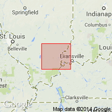
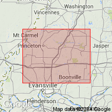
- Illinois basin
Summary:
Named as a member of Carbondale Formation. Named for town of Dykersburg, Williamson Co., south-central IL. Consists of gray, silty shale. Thickness ranges from 4.6 to 30 m. Age is Middle Pennsylvanian (Desmoinesian).
Source: GNU records (USGS DDS-6; Reston GNULEX).
- Usage in publication:
-
- Dykersburg Shale Member*
- Modifications:
-
- Overview
- AAPG geologic province:
-
- Illinois basin
Summary:
A nonmarine gray shale, equivalent to Dykersburg Shale Member of Carbondale Formation in IL, forms roof of Springfield Coal Member of Petersburg Formation in IN.
Source: GNU records (USGS DDS-6; Reston GNULEX).
For more information, please contact Nancy Stamm, Geologic Names Committee Secretary.
Asterisk (*) indicates published by U.S. Geological Survey authors.
"No current usage" (†) implies that a name has been abandoned or has fallen into disuse. Former usage and, if known, replacement name given in parentheses ( ).
Slash (/) indicates name conflicts with nomenclatural guidelines (CSN, 1933; ACSN, 1961, 1970; NACSN, 1983, 2005, 2021). May be explained within brackets ([ ]).