

- Usage in publication:
-
- Dutch Harbor Member*
- Modifications:
-
- Named
- Dominant lithology:
-
- Sandstone
- Conglomerate
- AAPG geologic province:
-
- Aleutian Islands province
- Alaska Southwestern region
Summary:
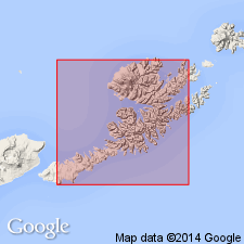
Type section: section measured about 3 km east of village of Unalaska, Unalaska Island, Aleutian Islands, AK. Is member of Unalaska Formation. Consists of light- to medium-greenish-gray sandstone with interbedded conglomerate. Forms very fine to fine-grained, indurated sandstone; rhythmically bedded turbidite and debris-flow deposits. Is 126 m thick. Conformably overlies and underlies unnamed lower and upper aquagene volcanic sequences of Unalaska Formation. Is early(?) Miocene age.
Source: GNU records (USGS DDS-6; Menlo GNULEX).
For more information, please contact Nancy Stamm, Geologic Names Committee Secretary.
Asterisk (*) indicates published by U.S. Geological Survey authors.
"No current usage" (†) implies that a name has been abandoned or has fallen into disuse. Former usage and, if known, replacement name given in parentheses ( ).
Slash (/) indicates name conflicts with nomenclatural guidelines (CSN, 1933; ACSN, 1961, 1970; NACSN, 1983, 2005, 2021). May be explained within brackets ([ ]).