The National Geologic Map Database is migrating to a new infrastructure. We apologize for any service disruptions during this process.
|
|---|


- Usage in publication:
-
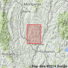
- Durkee Hill greenstones
- Modifications:
-
- Named
- Dominant lithology:
-
- Greenstone
- Schist
- AAPG geologic province:
-
- New England province
Summary:
Named the Durkee Hill greenstones for Durkee Hill, Strafford quadrangle, VT. Consists of a complex of gray to green to black basic and ultrabasic, massive and schistose, fine- to coarse-grained intrusives and volcanics and prominent chlorite schist. Light-gray feldspathic gneiss occurs irregularly among the greenstones. The Durkee Hill is of Late Devonian or post-Devonian age.
Source: GNU records (USGS DDS-6; Reston GNULEX).
For more information, please contact Nancy Stamm, Geologic Names Committee Secretary.
Asterisk (*) indicates published by U.S. Geological Survey authors.
"No current usage" (†) implies that a name has been abandoned or has fallen into disuse. Former usage and, if known, replacement name given in parentheses ( ).
Slash (/) indicates name conflicts with nomenclatural guidelines (CSN, 1933; ACSN, 1961, 1970; NACSN, 1983, 2005, 2021). May be explained within brackets ([ ]).