- Usage in publication:
-
- Dunlap Quarry sandstone member
- Modifications:
-
- Original reference
- Dominant lithology:
-
- Sandstone
- AAPG geologic province:
-
- Gulf Coast basin
Summary:
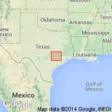
Table opp. p. 17, and p. 64. Dunlap Quarry sandstone member of Catahoula formation. A massive conglomeratic noncalcareous sandstone present in lower part of Catahoula formation from eastern Grimes County to northern Fayette County, southeastern Texas. Consists of coarse rice sand, tuffaceous sand, grit, and conglomerate, and locally grades into tuff. Where present is 4 to 25 feet thick. Age is Miocene(?) (early Miocene?).
Well exposed in large quarry on G.W. Dunlap 165-acre tract, in southeastern part of E.M. Millican survey, 2.4 mi S. 17 deg. E. of Millican, Brazos Co., southeastern TX.
Source: US geologic names lexicon (USGS Bull. 896, p. 643).

- Usage in publication:
-
- Dunlap [Quarry] sandstone member
- Modifications:
-
- Areal extent
- AAPG geologic province:
-
- Gulf Coast basin
Summary:
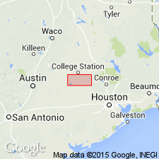
Pg. 68. Dunlap [Quarry] sandstone member of Catahoula formation. Recognized in Grimes, Brazos, and Burleson Counties, southeastern Texas. Occurs between Chita member below and Corough member (new) above. Age is Miocene(?).
Source: Publication; US geologic names lexicon (USGS Bull. 1200, p. 1182).
For more information, please contact Nancy Stamm, Geologic Names Committee Secretary.
Asterisk (*) indicates published by U.S. Geological Survey authors.
"No current usage" (†) implies that a name has been abandoned or has fallen into disuse. Former usage and, if known, replacement name given in parentheses ( ).
Slash (/) indicates name conflicts with nomenclatural guidelines (CSN, 1933; ACSN, 1961, 1970; NACSN, 1983, 2005, 2021). May be explained within brackets ([ ]).

