The National Geologic Map Database is migrating to a new infrastructure. We apologize for any service disruptions during this process.
|
|---|


- Usage in publication:
-
- Dundee limestone
- Modifications:
-
- First used
- AAPG geologic province:
-
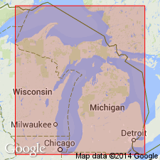
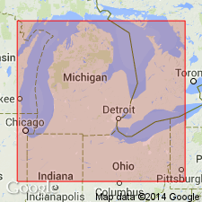
- Michigan basin
Summary:
Name credited to A.C. Lane. Dundee limestone is 40 to 160 ft thick and underlies Traverse group and overlies Monroe beds.
Source: GNU records (USGS DDS-6; Reston GNULEX).
- Usage in publication:
-
- Dundee limestone
- Modifications:
-
- Named
- Dominant lithology:
-
- Limestone
- AAPG geologic province:
-
- Michigan basin
Summary:
Dundee limestone described as buff, yellow, or almost white calcareous rocks, 40 to 160 ft thick, underlying Traverse group at Dundee, MI.
Source: GNU records (USGS DDS-6; Reston GNULEX).
- Usage in publication:
-
- Dundee Formation
- Modifications:
-
- Overview
- AAPG geologic province:
-
- Michigan basin
Summary:
Authors follow usage of Gardner (1974) who divided the Dundee into (ascending) Reed City Member and Rogers City Member. [Reed City has never been formally proposed and is therefore considered informal by the GNU.] The Rogers City is lithologically and paleontologically similar to the coeval subunit II of the Thiensville Formation of WI. The Reed City is not wholly equivalent to subunits I and III of the Thiensville, but was deposited under similar environmental conditions. The Reed City is restricted to the western part of the basin.
Source: GNU records (USGS DDS-6; Reston GNULEX).
For more information, please contact Nancy Stamm, Geologic Names Committee Secretary.
Asterisk (*) indicates published by U.S. Geological Survey authors.
"No current usage" (†) implies that a name has been abandoned or has fallen into disuse. Former usage and, if known, replacement name given in parentheses ( ).
Slash (/) indicates name conflicts with nomenclatural guidelines (CSN, 1933; ACSN, 1961, 1970; NACSN, 1983, 2005, 2021). May be explained within brackets ([ ]).