The National Geologic Map Database is migrating to a new infrastructure. We apologize for any service disruptions during this process.
|
|---|


- Usage in publication:
-
- Dry Gulch Creek Member
- Modifications:
-
- Named
- Dominant lithology:
-
- Sandstone
- Claystone
- AAPG geologic province:
-
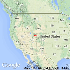
- Uinta basin
Summary:
Named as one of four members of Duchesne River Formation for exposures in Dry Gulch Creek, Duchesne Co, UT in the Uinta basin. Type section designated and measured at elevation of 5,980 ft on bench in sec 7, T2S, R2W, 3,000 ft east of Dry Gulch Creek north to top of hillside in sec 32, T1S, R2W. Crops out from Twelvemile Wash, Uintah Co west to Rock Creek, Duchesne Co. Ranges from 659 ft thick at type to 505+ ft thick at Halfway Hollow. Overlies Brennan Basin Member (new) of Duchesne River. Underlies Lapoint Member (formerly Lapoint horizon) of Duchesne River. Consists of pale red, olive gray to yellow brown, coarse, medium, fine to very fine grained, thin-, thick to very thick bedded, massive, moderately to poorly sorted sandstone that may be horizontally or cross stratified and red, gray to brown, very thin, thin- to thick-bedded, moderately to poorly sorted claystone that may be nodular, micaceous, or laminated. Contains plant remains and a sparse vertebrate fauna (listed). Of Eocene age [by inference, only; age not stated]. Cross sections.
Source: GNU records (USGS DDS-6; Denver GNULEX).
- Usage in publication:
-
- Dry Gulch Creek Member*
- Modifications:
-
- Areal extent
- Geochronologic dating
- AAPG geologic province:
-
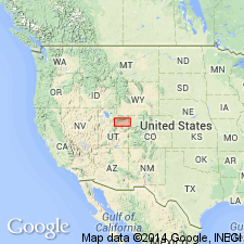
- Uinta basin
Summary:
Adopted as one of four members of Duchesne River Formation. Mapped for first time over 80 km from Asphalt Ridge to Rock Creek, Duchesne and Uintah Cos, UT, Uinta basin. Overlies and interfingers with Brennan Basin Member. Underlies Lapoint Member. Of Oligocene age. Isotopic dates on zircon of 33.0 +/-3.4 and 34.5 +/-4.4 Ma.
Source: GNU records (USGS DDS-6; Denver GNULEX).
For more information, please contact Nancy Stamm, Geologic Names Committee Secretary.
Asterisk (*) indicates published by U.S. Geological Survey authors.
"No current usage" (†) implies that a name has been abandoned or has fallen into disuse. Former usage and, if known, replacement name given in parentheses ( ).
Slash (/) indicates name conflicts with nomenclatural guidelines (CSN, 1933; ACSN, 1961, 1970; NACSN, 1983, 2005, 2021). May be explained within brackets ([ ]).