- Usage in publication:
-
- Drip Spring Formation
- Modifications:
-
- Named
- Dominant lithology:
-
- Volcaniclastics
- Diatomite
- Sandstone
- AAPG geologic province:
-
- Snake River basin
Summary:
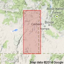
Named for Drip Spring SW/4 NE/4 sec.3 T22S R41E, Mahleur Co, OR. Measured type section designated as exposures in SE/4 sec.20 T20S R42E, Mahleur Co, OR. Composed of dark-yellowish-brown, yellowish-gray, and pale-yellowish-brown altered volcanic sandstones, peperites, feldspathic and arkose sandstones, siliceous diatomites, and carbonaceous volcanic shales that include both slope- and cliff-forming strata. Thickness is 260 ft at type; 700 ft along middle reach of Cottonwood Creek. Total may be 1500 ft. Overlies Littlefield Rhyolite (new); underlies Grassy Mountain Formation and Bully Creek Formation (new). Correlation chart shows Miocene age for unit.
Source: GNU records (USGS DDS-6; Menlo GNULEX).

- Usage in publication:
-
- Drip Spring Formation
- Modifications:
-
- Mapped
- AAPG geologic province:
-
- Snake River basin
Summary:
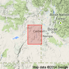
Shown on geologic map of Owyhee district, Malheur Co, OR, as Miocene and Miocene(?) age. Described as volcaniclastic and clastic fluviatile and lacustrine rocks similar in lithology and stratigraphic position to Deer Butte Formation. Peperites and basaltic intrusions within Drip Spring Formation, described as altered and zeolitized, are shown separately on map as Tertiary and Quaternary(?) age.
Source: GNU records (USGS DDS-6; Menlo GNULEX).

- Usage in publication:
-
- Drip Spring Formation
- Modifications:
-
- Age modified
- AAPG geologic province:
-
- Snake River basin
Summary:
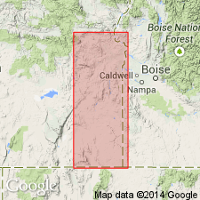
Age of Drip Spring Formation is given as late Miocene [no basin given].
Source: GNU records (USGS DDS-6; Menlo GNULEX).
For more information, please contact Nancy Stamm, Geologic Names Committee Secretary.
Asterisk (*) indicates published by U.S. Geological Survey authors.
"No current usage" (†) implies that a name has been abandoned or has fallen into disuse. Former usage and, if known, replacement name given in parentheses ( ).
Slash (/) indicates name conflicts with nomenclatural guidelines (CSN, 1933; ACSN, 1961, 1970; NACSN, 1983, 2005, 2021). May be explained within brackets ([ ]).

