The National Geologic Map Database is migrating to a new infrastructure. We apologize for any service disruptions during this process.
|
|---|


- Usage in publication:
-
- Drinkwater Formation*
- Modifications:
-
- Named
- Dominant lithology:
-
- Basalt
- AAPG geologic province:
-
- Southern Oregon basin
Summary:
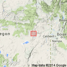
Pg. 23 (map 5), 31-32. Drinkwater Basalt. A nearly horizontal flow of olivine basalt that caps sediments in Juntura basin. Deposited on erosional surface formed by base leveling of Juntura and Drewsey formations (both new). Thickness 15 to 60 feet. Age is Pliocene (younger than Hemphillian).
Type section: Drinkwater Pass, Juntura basin, Harney Co, southeastern OR.
Source: US geologic names lexicon (USGS Bull. 1350, p. 222).
For more information, please contact Nancy Stamm, Geologic Names Committee Secretary.
Asterisk (*) indicates published by U.S. Geological Survey authors.
"No current usage" (†) implies that a name has been abandoned or has fallen into disuse. Former usage and, if known, replacement name given in parentheses ( ).
Slash (/) indicates name conflicts with nomenclatural guidelines (CSN, 1933; ACSN, 1961, 1970; NACSN, 1983, 2005, 2021). May be explained within brackets ([ ]).