- Usage in publication:
-
- Douglas Point metagabbro
- Modifications:
-
- Named
- Dominant lithology:
-
- Gabbro
- AAPG geologic province:
-
- Northern Rocky Mountain region
Summary:
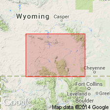
Name applied as an informal descriptive term to a metagabbro sill that crops out in secs 34 and 35, T13N, R79W, Albany Co, WY in the Northern Rocky Mountain region. Neither source of geographic name nor location of type locality stated. Geologic map. Consists of plagioclase (50+ percent), clinopyroxene (30+ percent), amphibole (9+ percent), and opaque minerals (nearly 5 percent). Is one of several mafic intrusions of Precambrian age common south of the Mullen Creek-Nash Fork shear zone that extend along strike for 10 ft to one-half mile or more.
Source: GNU records (USGS DDS-6; Denver GNULEX).
For more information, please contact Nancy Stamm, Geologic Names Committee Secretary.
Asterisk (*) indicates published by U.S. Geological Survey authors.
"No current usage" (†) implies that a name has been abandoned or has fallen into disuse. Former usage and, if known, replacement name given in parentheses ( ).
Slash (/) indicates name conflicts with nomenclatural guidelines (CSN, 1933; ACSN, 1961, 1970; NACSN, 1983, 2005, 2021). May be explained within brackets ([ ]).

