The National Geologic Map Database is migrating to a new infrastructure. We apologize for any service disruptions during this process.
|
|---|


- Usage in publication:
-
- Douglas Creek member*
- Modifications:
-
- Named
- Dominant lithology:
-
- Sandstone
- Siltstone
- Shale
- Limestone
- Marlstone
- AAPG geologic province:
-
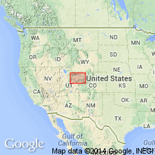
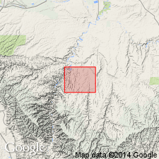
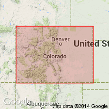
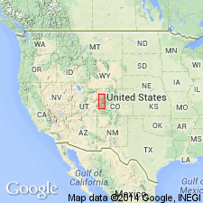
- Piceance basin
Summary:
Named the basal member of Green River formation east of Bitter Creek in Uintah Co, UT, for good exposures at the head of Douglas Creek, Rio Blanco Co, CO, and especially in east half of T5S, R102W, Garfield Co, CO in Piceance basin. No type locality designated. Is characteristically buff or yellowish-brown (contrasts with the underlying drab or variegated Wasatch formation) sandstone, limestone, marlstone, shale, and siltstone. Oil shale is negligible. Bedding is regular. Current and oscillation ripple marks. Sandstone and siltstone beds are cross-bedded. Some mud cracks, curls, and edgewise conglomerate. Ostracode-bearing shale and marlstone in many places associated with oolite are common. Fossiliferous: vertebrate, fin rays, skeletons of fish; gastropods; pelecypods; turtle carapaces; pieces of crocodiles; stems and leaves of plants. Is about 200 ft thick on Piceance Creek to almost 800 ft thick at head of Trail Creek, T6S, R101W. Geologic map. Cross section. Columnar sections. Underlies the newly named Garden Gulch member of Green River. Weathers as slopes, steeper than the overlying Garden Gulch, broken by low precipitous ledges. Correlated by Berry (U.S.G.S. Prof Paper 92) with the Auversian stage of Europe, thus middle Eocene. Equivalent to basal member of Green River to west in UT.
Source: GNU records (USGS DDS-6; Denver GNULEX).
- Usage in publication:
-
- Douglas Creek member*
- Modifications:
-
- Areal extent
- AAPG geologic province:
-
- Uinta basin
Summary:
Mapped as the basal member of the Eocene Green River Formation in the deeper canyons of Hill, Pine, Tabygo Creeks, and the Green River in Uintah and Carbon Cos, UT in the Uinta basin. Is the oldest unit in area. Overlies Wasatch formation in the subsurface. Underlies Parachute Creek member of Green River formation. Geologic map; cross sections. Forms rugged cliffs and steep slopes. Probably has a thickness of 2,500 ft in report area.
Source: GNU records (USGS DDS-6; Denver GNULEX).
- Usage in publication:
-
- Douglas Creek Member
- Modifications:
-
- Areal extent
- Revised
- AAPG geologic province:
-
- Piceance basin
Summary:
Restricted areally, as the basal member of the Eocene Green River Formation, to the southwest part of the Piceance Creek basin, Garfield Co, CO [northern extent into Rio Blanco Co, CO not discussed], Piceance basin. Thins or basinward into lacustrine beds of Garden Gulch Member of Green River. Restriction deemed necessary because the sandstones assigned to the Green River Formation on the east side of Piceance basin had an eastern source whereas those assigned to the Douglas Creek had a western and southwestern source. Nomenclature chart. Cross section. The lower sandstone of the Green River, on the east side of the basin but west of the earlier use of Anvil Points Member of Green River formerly assigned to the Douglas Creek, is named Piceance Creek Sandstone Tongue of the Anvil Points. Eocene age.
Source: GNU records (USGS DDS-6; Denver GNULEX).
- Usage in publication:
-
- Douglas Creek Member*
- Modifications:
-
- Revised
- AAPG geologic province:
-
- Piceance basin
Summary:
A newly named marker bed, Kimball Mountain Tuff Bed, forms base of Douglas Creek Member of Eocene Green River Formation in the Saddle, Desert Gulch, and Wagon Track Ridge quads, Garfield Co., CO in the Piceance basin.
Source: GNU records (USGS DDS-6; Denver GNULEX).
For more information, please contact Nancy Stamm, Geologic Names Committee Secretary.
Asterisk (*) indicates published by U.S. Geological Survey authors.
"No current usage" (†) implies that a name has been abandoned or has fallen into disuse. Former usage and, if known, replacement name given in parentheses ( ).
Slash (/) indicates name conflicts with nomenclatural guidelines (CSN, 1933; ACSN, 1961, 1970; NACSN, 1983, 2005, 2021). May be explained within brackets ([ ]).