The National Geologic Map Database is migrating to a new infrastructure. We apologize for any service disruptions during this process.
|
|---|


- Usage in publication:
-
- Doublehorn shale member
- Modifications:
-
- Named
- Dominant lithology:
-
- Shale
- AAPG geologic province:
-
- Llano uplift
Summary:
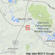
Named as middle member (of 3) of Houy Formation. Type section designated along Burnam Ranch where it enters Doublehorn Creek in southeastern Burnet Co, TX on the Llano uplift. Occurs in central TX; remnants have been found only along the eastern side of the Llano region. Consists of black, fissile, radioactive, spore-bearing shale of Late Devonian age which in a few places grades upward into shale of Early Mississippian age. Maximum thickness is 15 ft, and it thins to disappearance. Conodonts listed. Geologic maps. Columnar sections. Measured section described at the type section (Burnam Branch). Underlies a thin unnamed phosphoritic interval and overlies Ives Breccia Member, both of the Houy Formation.
Source: GNU records (USGS DDS-6; Denver GNULEX).
For more information, please contact Nancy Stamm, Geologic Names Committee Secretary.
Asterisk (*) indicates published by U.S. Geological Survey authors.
"No current usage" (†) implies that a name has been abandoned or has fallen into disuse. Former usage and, if known, replacement name given in parentheses ( ).
Slash (/) indicates name conflicts with nomenclatural guidelines (CSN, 1933; ACSN, 1961, 1970; NACSN, 1983, 2005, 2021). May be explained within brackets ([ ]).