

- Usage in publication:
-
- Dos Palmas rhyolite
- Modifications:
-
- Original reference
- Dominant lithology:
-
- Rhyolite
- AAPG geologic province:
-
- Salton basin
Summary:
Pg. 24, 25 (fig. 3), pl. 2 (geol. map). Dos Palmas rhyolite. Thickness as much as 400 feet. Rests directly on older crystalline rocks. Southeast of Box Canyon, underlies Canebrake conglomerate (new). Age is Miocene(?).
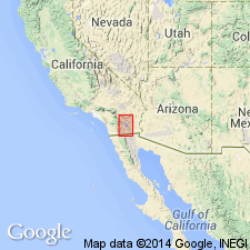
Crops out in Mecca Hills, 8 mi S. 30 deg. E. of Mecca, [Cottonwood Spring 15-min quadrangle], Imperial Co., southern CA.
Source: US geologic names lexicon (USGS Bull. 1200, p. 1143).
For more information, please contact Nancy Stamm, Geologic Names Committee Secretary.
Asterisk (*) indicates published by U.S. Geological Survey authors.
"No current usage" (†) implies that a name has been abandoned or has fallen into disuse. Former usage and, if known, replacement name given in parentheses ( ).
Slash (/) indicates name conflicts with nomenclatural guidelines (CSN, 1933; ACSN, 1961, 1970; NACSN, 1983, 2005, 2021). May be explained within brackets ([ ]).