- Usage in publication:
-
- Dorton shale
- Modifications:
-
- Original reference
- Dominant lithology:
-
- Shale
- Coal
- AAPG geologic province:
-
- Appalachian basin
Summary:
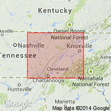
Pg. 4-6, pls. 2, 3. Dorton shale of Crooked Fork group. Name applied to shale between top of Rockcastle conglomerate and base of Crossville sandstone. Thickness commonly 50 to 80 feet; at type locality approximately 35 feet; in Crooked Fork section 42 feet; maximum thickness 115 feet occurs on Cumberland block. Contains Rex coal near base and thin Potters Falls coal near top. Name Duskin Creek was previously used for beds presumably overlying the Rockcastle, and including Dorton shale of this report. Type section of Duskin Creek consists of beds of the Vandever formation that actually underlie the Rockcastle. This error is believed due to failure to identify the Rockcastle because of its local shaly character. Age is Early Pennsylvanian (Pottsville).
Named from exposures near Dorton, Dorton quadrangle, Cumberland Co., eastern TN.
Source: US geologic names lexicon (USGS Bull. 1200, p. 1143).

- Usage in publication:
-
- Dorton Shale
- Modifications:
-
- Areal extent
- AAPG geologic province:
-
- Appalachian basin
Summary:
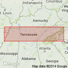
(East-central sheet; not separately mapped.) Dorton Shale of Crooked Fork Group. Mostly dark-gray to light-brown shale with minor siltstone and sandstone. Thin coal near top. Rex coal as much as 70 feet above base. Thickness as much as 150 feet. Is basal formation of Crooked Fork Group. Lies below Crossville Sandstone of Crooked Fork Group and above Rockcastle Conglomerate of Crab Orchard Mountains Group. Age is Pennsylvanian.
Source: GNU records (USGS DDS-6; Reston GNULEX).

- Usage in publication:
-
- Dorton Shale
- Modifications:
-
- Overview
- AAPG geologic province:
-
- Appalachian basin
Summary:
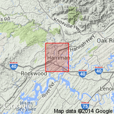
Dorton Shale at base of Crooked Fork Group mapped in Roane and Morgan Cos., eastern TN. Consists of medium dark to dark-gray and olive gray, silty to sandy shale with a few layers of ironstone, and with laminae and beds of light-gray, very fine grained, flasered and burrowed sandstone. Rex coal with associated seat earth at or near top, lower to northwest. Thin Christmas coal at base locally in northeast corner of quad. Thickness ranges widely from 15 to 110 ft. Overlies Rockcastle Conglomerate of Crab Orchard Mountains Group and underlies Crossville Sandstone of Crooked Fork. Age is Early Pennsylvanian.
Source: GNU records (USGS DDS-6; Reston GNULEX).
For more information, please contact Nancy Stamm, Geologic Names Committee Secretary.
Asterisk (*) indicates published by U.S. Geological Survey authors.
"No current usage" (†) implies that a name has been abandoned or has fallen into disuse. Former usage and, if known, replacement name given in parentheses ( ).
Slash (/) indicates name conflicts with nomenclatural guidelines (CSN, 1933; ACSN, 1961, 1970; NACSN, 1983, 2005, 2021). May be explained within brackets ([ ]).

