

- Usage in publication:
-
- Dismal Swamp peat
- Modifications:
-
- Named
- Dominant lithology:
-
- Peat
- AAPG geologic province:
-
- Atlantic Coast basin
Summary:
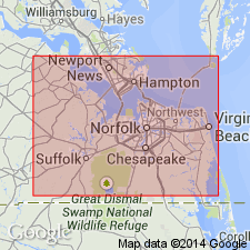
Name Dismal Swamp introduced for fresh-water peat underlying low area east of Suffolk scarp, southeastern VA. Maximum thickness 11 ft. Stratigraphically above Sandbridge Formation (new). Pollen study indicates that peat is entirely of fresh-water origin. Radiocarbon age 7,670+/-60 yrs.
Source: GNU records (USGS DDS-6; Reston GNULEX).
- Usage in publication:
-
- Dismal Swamp Peat
- Modifications:
-
- Overview
- Areal extent
- AAPG geologic province:
-
- Atlantic Coast basin
Summary:
Thickness of Dismal Swamp Peat ranges from 3.9 to 5.5 m in VA and NC. Overlies Sand Bridge, Yorktown, Norfolk, and Londonbridge Formations. C14 age here given as 8900+/-160.
Source: GNU records (USGS DDS-6; Reston GNULEX).
For more information, please contact Nancy Stamm, Geologic Names Committee Secretary.
Asterisk (*) indicates published by U.S. Geological Survey authors.
"No current usage" (†) implies that a name has been abandoned or has fallen into disuse. Former usage and, if known, replacement name given in parentheses ( ).
Slash (/) indicates name conflicts with nomenclatural guidelines (CSN, 1933; ACSN, 1961, 1970; NACSN, 1983, 2005, 2021). May be explained within brackets ([ ]).