

- Usage in publication:
-
- Dip Creek formation
- Modifications:
-
- Original reference
- Dominant lithology:
-
- Conglomerate
- Sandstone
- AAPG geologic province:
-
- Coastal basins
Summary:
Pg. 450, 512-517. Dip Creek formation. Name proposed for Paleocene beds in central and south Santa Lucia Range. Consists of coarse cobble and boulder conglomerates and coarse to fine-grained arkose sandstones, commonly filled with carbonized plant remains. Thickness about 1,320 feet. Unconformably underlies pre-Vaqueros landlaid redbeds and marine Vaqueros sandstones; overlies Asuncion formation [group]. Age is Paleocene.
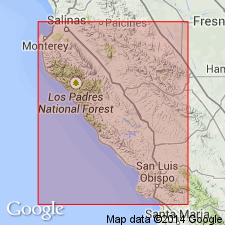
Type locality: in west part of sec. 30, T. 25 S., R. 10 E., Adelaida quadrangle, Santa Lucia Range, west-central CA.
Source: US geologic names lexicon (USGS Bull. 1200, p. 1122).
For more information, please contact Nancy Stamm, Geologic Names Committee Secretary.
Asterisk (*) indicates published by U.S. Geological Survey authors.
"No current usage" (†) implies that a name has been abandoned or has fallen into disuse. Former usage and, if known, replacement name given in parentheses ( ).
Slash (/) indicates name conflicts with nomenclatural guidelines (CSN, 1933; ACSN, 1961, 1970; NACSN, 1983, 2005, 2021). May be explained within brackets ([ ]).