- Usage in publication:
-
- Diana [formation]
- Modifications:
-
- First used
- AAPG geologic province:
-
- Great Basin province
Summary:
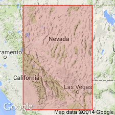
Named "Diana" used on cross section and structure section of Toquima sequence, Paleozoic continental margin in central Nevada. Underlies Masket [formation] (new); overlies Antelope Valley limestone. Structure section gives Silurian age.
Source: GNU records (USGS DDS-6; Menlo GNULEX).

- Usage in publication:
-
- Diana Limestone
- Modifications:
-
- Named
- Dominant lithology:
-
- Limestone
- AAPG geologic province:
-
- Great Basin province
Summary:
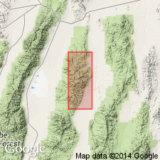
Diana Limestone (Kay, 1960) named from Diana Peak, 9603 ft north of mouth of July Canyon in Mill Canyon sequence. Type section is in outcrop belt to northwest [Toquima Range, Nye Co, NV]. Occurs on ridge south of June Canyon, northwest of Diana Peak, on east face of Copper Mountain and along Mill Canyon. Is missing along mountain front from April Canyon to Ikes Canyon. Consists of calcarenite and bedded dark-gray limestone with mottled light-weathered patches. Thickness is as much as 38 ft. Disconformably overlies Antelope Valley Limestone. Underlies Masket Shale. Is Silurian age.
Source: GNU records (USGS DDS-6; Menlo GNULEX).

- Usage in publication:
-
- Diana Limestone
- Modifications:
-
- Not used
- Age modified
- Biostratigraphic dating
- AAPG geologic province:
-
- Great Basin province
Summary:
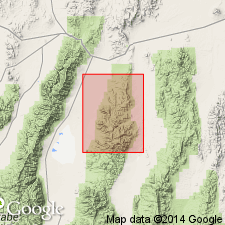
Diana Limestone (Kay and Crawford, 1964, plate 1) in this report is mapped as unnamed limestones above Antelope Valley Limestone and below Roberts Mountains Formation due to the fact that "printing errors on the map [Kay and Crawford (1964, plate 1)] led to confusion as to the location and even the stratigraphic position of this rock." Trilobites, graptolites, and conodonts from unit suggest late Middle or Late Ordovician age.
Source: GNU records (USGS DDS-6; Menlo GNULEX).

- Usage in publication:
-
- Diana Limestone
- Modifications:
-
- Overview
- AAPG geologic province:
-
- Great Basin province
Summary:
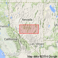
Authors review studies by earlier writers. Diana Limestone is mapped undifferentiated with Masket Shale, Gatecliff Formation and Caesar Canyon Limestone (all of Kay and Crawford, 1964) on geologic map of northern Nye Co, NV.
Source: GNU records (USGS DDS-6; Menlo GNULEX).
For more information, please contact Nancy Stamm, Geologic Names Committee Secretary.
Asterisk (*) indicates published by U.S. Geological Survey authors.
"No current usage" (†) implies that a name has been abandoned or has fallen into disuse. Former usage and, if known, replacement name given in parentheses ( ).
Slash (/) indicates name conflicts with nomenclatural guidelines (CSN, 1933; ACSN, 1961, 1970; NACSN, 1983, 2005, 2021). May be explained within brackets ([ ]).

