- Usage in publication:
-
- Deweesville Sandstone Member*
- Modifications:
-
- Original reference
- Dominant lithology:
-
- Sandstone
- AAPG geologic province:
-
- Gulf Coast basin
Summary:
Pg. 563-565. Deweesville Sandstone Member of Whitsett Formation of Jackson Group. Replaces †Stones Switch Sandstone Member. Thickness 3 m. Overlies Conquista Clay Member; underlies Dubose Member (both of Whitsett Formation of Jackson Group). Age is late Eocene. (Deweesville Sandstone Member of Whitsett Formation of Jackson Group adopted by the USGS and Texas Geol. Survey.)
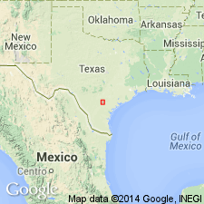
Type section: uranium pits which were used as tailing ponds at Falls City uranium mill of Susquehanna-Western, Inc., 13.6 km southwest of Falls City on Farm Road 1344, 800 m northwest of Farm Road 791, Karnes Co. Natural exposures in northwest-facing scarp of Scared Dog Creek near abandoned community of Deweesville, south-central TX.
Source: US geologic names lexicon (USGS Bull. 1520, p. 84); Changes in stratigraphic nomenclature, 1972 (USGS Bull. 1394-A, p. A12-A13, A46-A47).

- Usage in publication:
-
- Deweesville Sandstone Member
- Modifications:
-
- Areal extent
- AAPG geologic province:
-
- Gulf Coast basin
Summary:
Deweesville Sandstone Member of Whitsett Formation. Sandstone, siltstone, clay, and tuff; uranium deposits locally near base. Thickness 30 feet. Overlies Conquista Clay Member and underlies Dubose Clay Member (both of Whitsett). Fossils. Age is considered Eocene and Oligocene(?).
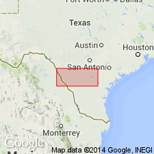
Not separately mapped. [Present in Karnes Co., southeastern TX.]
Source: Modified from GNU records (USGS DDS-6; Denver GNULEX).

- Usage in publication:
-
- Deweesville Sandstone Member
- Modifications:
-
- Areal extent
- AAPG geologic province:
-
- Gulf Coast basin
Summary:
Deweesville Sandstone Member of Whitsett Formation of Jackson Group. Sandstone, siltstone, clay, and tuff; sandstone, fine- to medium-grained, friable, tuffaceous, cross-bedded, lenticular, gray to yellowish brown, locally bored by OPHIOMORPHA; thin beds of bentonitic clay and tuff; uranium deposits locally near base; oysters and other fossils common in upper part. Thickness 30 feet. Lies above Conquista Clay Member and below Dubose Clay Member (both of Whitsett). Age is Eocene.
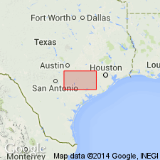
Not separately mapped. [Present in McMullen, Live Oak, Atascosa, and Karnes Cos., southern TX.]
Source: Publication.
For more information, please contact Nancy Stamm, Geologic Names Committee Secretary.
Asterisk (*) indicates published by U.S. Geological Survey authors.
"No current usage" (†) implies that a name has been abandoned or has fallen into disuse. Former usage and, if known, replacement name given in parentheses ( ).
Slash (/) indicates name conflicts with nomenclatural guidelines (CSN, 1933; ACSN, 1961, 1970; NACSN, 1983, 2005, 2021). May be explained within brackets ([ ]).

