

- Usage in publication:
-
- Desertion Point Tongue
- Modifications:
-
- Named
- Dominant lithology:
-
- Siltstone
- Sandstone
- Marlstone
- Limestone
- AAPG geologic province:
-
- Green River basin
Summary:
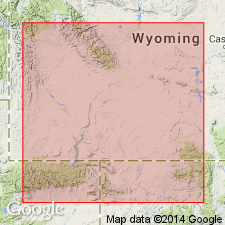
Named as a tongue of Wasatch Formation for Desertion Point, sec 26, T19N, R115W, Lincoln Co, WY in Greater Green River basin, which is also designated the type locality. Is widespread along western margin of Green River basin. Formerly called upper tongue of Wasatch. Composed of variegated siltstone and sandstone with occasional interbeds of marlstone and limestone. Red coloration is variable and is reduced rapidly when traced east away from basin margins. Is 250 ft thick at type. Thins north and east. Is 180 to 200 ft thick in Fort Hill-LaBarge area. Loses identity northward toward T25N, R114W. Thickens south toward its source in Uinta Mountains. Becomes coarser toward source. Intertongues with and overlies Wilkins Peak Member of Green River Formation. Underlies Craven Creek Bed of Laney Member Green River. Is of Wasatchian, Lost Cabinian, or early Eocene age. Is part of a fluviatile and paludal unit that was deposited in a subhumid savanna. Geologic map. Cross sections.
Source: GNU records (USGS DDS-6; Denver GNULEX).
- Usage in publication:
-
- Desertion Point Tongue
- Modifications:
-
- Not used
Summary:
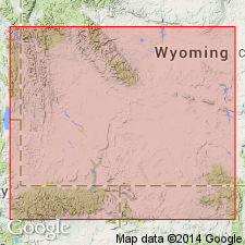
Name Cathedral Bluffs Tongue of Wasatch Formation is applied, on the west margin of the Greater Green River basin, to a sequence about 165 ft thick in the upper part of the Wasatch Formation that had been called upper tongue of Wasatch by Lawrence (1963) and Oriel (1961), and named New Fork Tongue of Wasatch by Donavan (1950). The sequence is equivalent to the Cathedral Bluffs, a unit that was named in 1920 and therefore has precedence over Desertion Point. Stratigraphic diagrams.
Source: GNU records (USGS DDS-6; Denver GNULEX).
For more information, please contact Nancy Stamm, Geologic Names Committee Secretary.
Asterisk (*) indicates published by U.S. Geological Survey authors.
"No current usage" (†) implies that a name has been abandoned or has fallen into disuse. Former usage and, if known, replacement name given in parentheses ( ).
Slash (/) indicates name conflicts with nomenclatural guidelines (CSN, 1933; ACSN, 1961, 1970; NACSN, 1983, 2005, 2021). May be explained within brackets ([ ]).