The National Geologic Map Database is migrating to a new infrastructure. We apologize for any service disruptions during this process.
|
|---|


- Usage in publication:
-
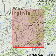
- Denmar formation
- Modifications:
-
- Named
- Dominant lithology:
-
- Limestone
- AAPG geologic province:
-
- Appalachian basin
Summary:
Named the Denmar formation for Denmar, Pocahontas Co., WV. Consists of gray, slightly cherty, calcarenite and calcilutite. Thickness at type section is 214 feet. Unit includes beds that Reger (1926) called Sinks Grove and Patton limestones. Conformably overlies Hillsdale limestone from southern Mercer Co. to northern Pocahontas Co.; across remaining distance of latter county and for approximately 5.5 miles into Randolph Co., near Monterville, unconformably overlies thinning Maccrady shale; 1.5 miles south of Monterville, the Maccrady disappears and the Denmar rests on the Pocono; throughout area investigated the Denmar underlies Reger's (1926) Taggard formation. The Denmar is of middle Mississippian age.
Source: GNU records (USGS DDS-6; Reston GNULEX).
- Usage in publication:
-
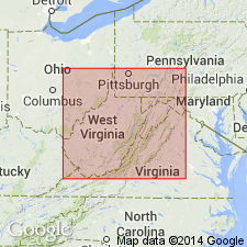
- Denmar Formation
- Modifications:
-
- Revised
- AAPG geologic province:
-
- Appalachian basin
Summary:
Revised the Denmar Formation to be included in the Greenbrier Group in WV. Overlies the Hillsdale Limestone and underlies the Taggard Formation both of the Greenbrier Group.
Source: GNU records (USGS DDS-6; Reston GNULEX).
For more information, please contact Nancy Stamm, Geologic Names Committee Secretary.
Asterisk (*) indicates published by U.S. Geological Survey authors.
"No current usage" (†) implies that a name has been abandoned or has fallen into disuse. Former usage and, if known, replacement name given in parentheses ( ).
Slash (/) indicates name conflicts with nomenclatural guidelines (CSN, 1933; ACSN, 1961, 1970; NACSN, 1983, 2005, 2021). May be explained within brackets ([ ]).