The National Geologic Map Database is migrating to a new infrastructure. We apologize for any service disruptions during this process.
|
|---|


- Usage in publication:
-
- Denkman Sand
- Modifications:
-
- Original reference
- Dominant lithology:
-
- Sand
- AAPG geologic province:
-
- Mid-Gulf Coast basin
Summary:
Pg. 290, 291. Denkman sand. Lowest or oldest stratigraphic unit known in eastern Gulf area above Louann salt, the stratigraphic relationships of the salt and overlying units not being clear in this area, is a sand herein named Denkman. Lies between 15,997 or 15,998 feet and total depth (16,276 feet) in type well. Sand is possibly continuous with Norphlet of north Louisiana and south Arkansas but is different lithologically. Overlain by carbonates which seem to be laterally continuous with Smackover of Arkansas and north Louisiana. Probably equivalent to lower part of Smackover of type area.
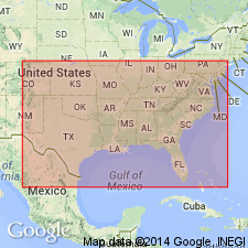
Type section (subsurface): Lion Oil Company No. 2 Denkman well, [API no. 23121000880000], in NW/4 NE/4 sec. 22, T. 7 N., R. 4 E., [approx. Lat. 32 deg. 26 min. 18 sec. N., Long. 89 deg. 52 min. 27 sec. W., western edge Leesburg 7.5-min quadrangle, Wildcat field], Rankin Co., central MS.
[Additional well and locality information from Mississippi Office of Geology oil and gas records and USGS historical topographic map collection TopoView, accessed December 17, 2016.]
Source: US geologic names lexicon (USGS Bull. 1350, p. 204).
- Usage in publication:
-
- Denkman Sandstone Member
- Modifications:
-
- Overview
- AAPG geologic province:
-
- Mid-Gulf Coast basin
Summary:
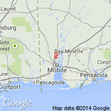
Upper Jurassic Denkman Sandstone Member of Norphlet Formation at Hatters Pond Field is a medium- to fine-grained, well-sorted arkosic sandstone between the underlying Norphlet red-bed lithofacies and the carbonates of the overlying Smackover Formation. The Denkman can be subdivided into a massive upper unit and a low- to high-angle cross-stratified lower unit. In southwestern AL, the lower unit forms most of the Denkman Member. Age is early Oxfordian according to Swain and Anderson (1990).
Source: GNU records (USGS DDS-6; Reston GNULEX).
- Usage in publication:
-
- Denkman Sandstone Member*
- Modifications:
-
- Overview
- AAPG geologic province:
-
- Mid-Gulf Coast basin
Summary:
Eolian sandstones of the Denkman Sandstone Member, upper member of Norphlet Formation, are dune and interdune deposits with associated updip fluvial, wadi, and alluvial fan deposits. Consists of gray to buff, fine to very fine grained, moderately to well-sorted sandstone. Is a subfeldspathic and feldspathic arenite. In lower two-thirds, has high-angle cross strata and sets of low angle inversely graded strata interpreted as eolian avalanche and ripple strata. Thought to have been preserved as linear eolian dunes or barchanoid or transverse dunes. In upper part has vague, wavy or discontinuous lamination that is thought to have resulted from reworking of the eolian sand by marine water of the overlying Smackover Formation. Areal extent map. Stratigraphic chart. Late Jurassic age.
Source: GNU records (USGS DDS-6; Denver GNULEX).
- Usage in publication:
-
- Denkman Member
- Modifications:
-
- Overview
- AAPG geologic province:
-
- Mid-Gulf Coast basin
Summary:
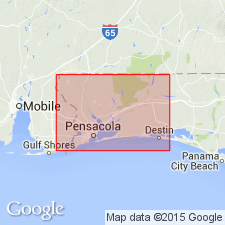
This study is primarily confined Escambia, Santa Rosa, and Okaloosa Cos., panhandle FL, where deposition has been previously undocumented. The Norphlet varies considerably in lithologic character in this area. In central Escambia and Santa Rosa Cos, the Denkman Member (informally subdivided into upper and lower units) is characterized by relatively clean, light-colored sandstones. Upper unit is gray, while lower is brown to reddish-brown quartzose sandstone. Generally these sandstones are fine- to medium-grained and well sorted with rounded to subrounded grains. The upper Denkman is massively bedded to faintly horizontally or wavy laminated; the lower Denkman is either horizontally laminated or has low to high-angle cross-stratification. Average composition of the member is 62 percent quartz, 26 percent feldspar, and 12 percent rock fragments. Against the Pensacola Arch, the clean sandstones of the Denkman thin and grade into medium- to coarse-grained and gravelly sandstones.
Source: GNU records (USGS DDS-6; Reston GNULEX).
For more information, please contact Nancy Stamm, Geologic Names Committee Secretary.
Asterisk (*) indicates published by U.S. Geological Survey authors.
"No current usage" (†) implies that a name has been abandoned or has fallen into disuse. Former usage and, if known, replacement name given in parentheses ( ).
Slash (/) indicates name conflicts with nomenclatural guidelines (CSN, 1933; ACSN, 1961, 1970; NACSN, 1983, 2005, 2021). May be explained within brackets ([ ]).