- Usage in publication:
-
- Democrat Gulch complex
- Modifications:
-
- Original reference
- Dominant lithology:
-
- Syenite
- AAPG geologic province:
-
- Denver basin
Summary:
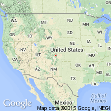
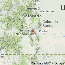
Pg. 1089 (fig. 1), 1103-1104. Democrat Gulch complex. Shown on index map in southern part of Fremont County, central Colorado. Age of syenite in the complex, determined by zircon method, 595 Ma. Youngest Precambrian or earliest Cambrian(?). Occurs in vicinity of Iron Mountain-McClure Mountain complex and Gem Park complex, Fremont County, central Colorado.
Source: US geologic names lexicon (USGS Bull. 1350, p. 203).

- Usage in publication:
-
- Democrat Creek Complex
- Modifications:
-
- Revised
- AAPG geologic province:
-
- Denver basin
Summary:
Pinon Peak breccia pipes, herein described, are satellic to McClure Mountain-Iron Mountain complex, just as the Democrat Creek complex has marginal breccia masses. In Democrat Gulch the breccias are adjacent or near the syenite body.
Source: US geologic names lexicon (USGS Bull. 1350, p. 203).

- Usage in publication:
-
- complex at Democrat Creek*
- Modifications:
-
- Revised
- AAPG geologic province:
-
- Las Vegas-Raton basin
- Denver basin
Summary:
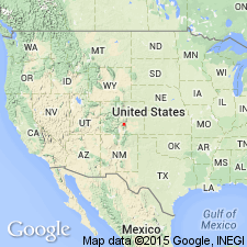
Pg. 1, 4 (fig. 2), 12-14. complex at Democrat Creek. Leucocratic quartz syenite and tholeiitic mafic-ultramafic rocks. Maximum extent 4.5 km along a northwest-southeast axis and 3 km along a northeast-southwest axis. In some places, contact with Precambrian host rocks is marked by a breccia zone. Intruded by syenite dikes and a quartz-barite-thorite vein. Age is Cambrian, based on Rb-Sr isotopic age of 511 +/-8 Ma (syenites; citing C.E. Hedge IN Arbrustmacher and Hedge, 1982, Contrib. Mineral. and Petrolog., v. 79, p. 424-435).
Complex located about 14 km east of Gem Park Complex and 7 km southeast of McClure Mountain Complex. [Center of complex about 10 mi southwest of Canon City, approx. Lat. 38 deg. 16 min. 15 sec. N., Long. 105 deg. 18 min. 25 sec. W., Curley Peak 7.5-min quadrangle, Fremont Co., central CO.]
Source: Publication.
For more information, please contact Nancy Stamm, Geologic Names Committee Secretary.
Asterisk (*) indicates published by U.S. Geological Survey authors.
"No current usage" (†) implies that a name has been abandoned or has fallen into disuse. Former usage and, if known, replacement name given in parentheses ( ).
Slash (/) indicates name conflicts with nomenclatural guidelines (CSN, 1933; ACSN, 1961, 1970; NACSN, 1983, 2005, 2021). May be explained within brackets ([ ]).

