- Usage in publication:
-
- Delwood coal member
- Modifications:
-
- Principal reference
- Dominant lithology:
-
- Coal
- AAPG geologic province:
-
- Illinois basin
Summary:
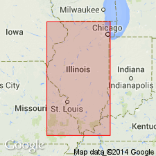
Pg. 31, 44 (table 1), 62, pl. 1. Delwood coal member of Abbott formation (new) of McCormick group (new). Assigned to member status in Abbott formation. Occurs below Murray Bluff sandstone member and above Finnie sandstone member. Thickness 3 feet in type section of Abbott. Term Finnie sandstone is applied to unit formerly termed Delwood sandstone in order to retain name Delwood for the coal. Name Delwood coal credited to J.M. Weller (1940, Illinois Geol. Survey Rpt. Inv., no. 71). Age is Pennsylvanian. Presentation of new rock-stratigraphic classification of Pennsylvanian strata in Illinois.
Type locality (Wanless, 1956, p. 9; field notes): in NW/4 NW/4 sec. 3, T. 11 S., R. 6 E., Eddyville quadrangle, Pope Co., southeastern IL.
Source: Publication; US geologic names lexicon (USGS Bull. 1200, p. 1086).

- Usage in publication:
-
- Delwood Coal Bed
- Modifications:
-
- Revised
- Biostratigraphic dating
- AAPG geologic province:
-
- Illinois basin
Summary:
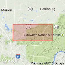
Because previous authors had misidentified the golden sandstone of the Spoon Formation as the Murray Bluff Sandstone Member of the Abbott Formation, they assigned the Delwood Coal to the Abbott Formation. Recent mapping and palynological study show that the Delwood Coal is above the Murray Bluff Sandstone and that it is equivalent to the Bidwell Coal (of Kosanke and others, 1960). Therefore the name Bidwell is abandoned as Delwood has priority. The Delwood is here reduced in rank and assigned bed status in the Spoon Formation because it appears to be only a local coal. Thickness in most of the study area is 24 to 42 inches. Maximum thickness of 71 inches recorded from borehole in NE/4 NE/4 sec. 8, T. 11 S., R. 4 E., Creal Springs quadrangle. Underlies 8 to 25 feet of shale, siltstone, and sandstone, which in turn underlies the New Burnside Coal Bed. Overlies shale above the Oldtown Coal Bed (new). Age is Middle Pennsylvanian (Desmoinesian), based on fossils (spores and pollen).
Source: GNU records (USGS DDS-6; Reston GNULEX).
For more information, please contact Nancy Stamm, Geologic Names Committee Secretary.
Asterisk (*) indicates published by U.S. Geological Survey authors.
"No current usage" (†) implies that a name has been abandoned or has fallen into disuse. Former usage and, if known, replacement name given in parentheses ( ).
Slash (/) indicates name conflicts with nomenclatural guidelines (CSN, 1933; ACSN, 1961, 1970; NACSN, 1983, 2005, 2021). May be explained within brackets ([ ]).

