- Usage in publication:
-
- Delphi dolomite
- Modifications:
-
- Named
- Dominant lithology:
-
- Limestone
- AAPG geologic province:
-
- South Oklahoma folded belt
Summary:
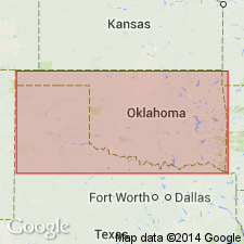
Named as the uppermost unit (of six) in the Greer division for the town of Delphi, Greer Co, OK in the South Oklahoma folded belt province. No type locality designated. Consists of white, drab, gray and sometimes yellowish persistent ledge-forming dolomitic limestone 1-5 ft thick (average 3 ft thick). Is arenaceous and soft at some localities and cavernous at other localities. Is exposed on hills of North Fork in Roger Mills Co, OK and on practically all the divides of Elm Fork, Haystack, Bull and Fish Creeks in Greer Co. Overlies a 20 ft thick unnamed red clay shale. Is older than the Quartermaster division (new). Permian age.
Source: GNU records (USGS DDS-6; Denver GNULEX).
For more information, please contact Nancy Stamm, Geologic Names Committee Secretary.
Asterisk (*) indicates published by U.S. Geological Survey authors.
"No current usage" (†) implies that a name has been abandoned or has fallen into disuse. Former usage and, if known, replacement name given in parentheses ( ).
Slash (/) indicates name conflicts with nomenclatural guidelines (CSN, 1933; ACSN, 1961, 1970; NACSN, 1983, 2005, 2021). May be explained within brackets ([ ]).

