- Usage in publication:
-
- Delaware Mountain formation
- Modifications:
-
- Original reference
- Dominant lithology:
-
- Sandstone
- Limestone
- Shale
- AAPG geologic province:
-
- Permian basin
Summary:
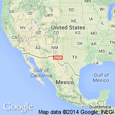
Pg. 38, geol. map. Delaware Mountain formation. Essentially light and dark-colored sandstone and limestone, though locally includes some shale. At base 200 feet or more of blue-black, thin-bedded limestone, gives off a distinctive odor when struck with a hammer. Greatest exposed thickness 2,300 feet, but base not seen and relations to Pennsylvanian Hueco formation not determined. Underlies Capitan limestone. Notable exposures in Delaware and Guadalupe Mountains, and Sierra Diablo, western Texas. Age is Permian.
Named from prominent exposures in Delaware Mountains, El Paso Co. [now in Culberson Co.], western TX.
Source: Publication; US geologic names lexicon (USGS Bull. 896, p. 592-593).
- Usage in publication:
-
- Delaware Mountain formation
- Modifications:
-
- Revised
- AAPG geologic province:
-
- Permian basin
Summary:
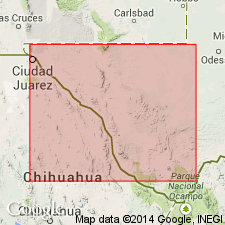
Pg. 921-922, 924, 925. Delaware Mountain formation, lower formation of Guadalupe group. Has been divided into following members: (1) upper dark limestone; (2) Delaware Mountain sandstone; (3) basal black limestone (here named Bone Canyon member of Leonard formation). A short distance north of Bone Canyon, on west side of Guadalupe Mountains, a wedge of gray limestone (here named [Victorio] Peak member of Leonard formation) appears beneath the unconformity at base of Delaware Mountain sandstone and separates that sandstone from Bone Canyon member. The Delaware Mountain formation as originally defined is not a natural group, but consists of beds of Leonard and Word age, separated by an unconformity. For this reason it is here suggested that if term Delaware Mountain be retained it should be restricted to the beds above the basal black limestone [also to the beds above [Victorio] Peak member]. Includes near base a thin bed of gypsum (here named Dos Alamos gypsum). Delaware Mountain formation conformably underlies Capitan limestone of Guadalupe group. Age is Permian (Wordian).
Source: US geologic names lexicon (USGS Bull. 896, p. 592-593).
- Usage in publication:
-
- Delaware Mountain group*
- Modifications:
-
- Revised
- AAPG geologic province:
-
- Permian basin
Summary:
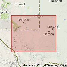
Pg. 8. Delaware Mountain group. Rank raised to group. Subdivisions heretofore referred to as lower, middle, and upper are designated by formational names, Brushy Canyon, Cherry Canyon, and Bell Canyon respectively. New names credited to P.B. King. [Age is Permian (Guadalupe Series).]
Source: US geologic names lexicon (USGS Bull. 1200, p. 1079).
- Usage in publication:
-
- Delaware Mountain group*
- Modifications:
-
- Areal extent
- AAPG geologic province:
-
- Permian basin
Summary:
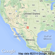
Pg. 576-592, pl. 2; 1948, USGS Prof. Paper 215, p. 27-28, pl. 3. Delaware Mountain group. Group is about 2,700 feet thick and consists largely of sandstone. Separable into (ascending) Brushy Canyon, Cherry Canyon, and Bell Canyon formations. Northwestward away from basin, lower formation overlaps older rocks along Bone Spring flexure and is absent beyond. Lower part of Cherry Canyon formation persists northwestward as thin sandstone tongue, but upper part changes into Goat Seep limestone. Upper formation changes northwestward into Capitan limestone. Overlies Bone Spring formation; underlies Castile formation. Age is Permian (Guadalupe).
Source: US geologic names lexicon (USGS Bull. 1200, p. 1079).
- Usage in publication:
-
- [Delaware Mountain group*]
- Modifications:
-
- Areal extent
- AAPG geologic province:
-
- Permian basin
Summary:
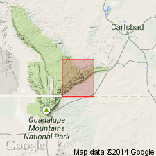
[Delaware Mountain group]. Bell Canyon formation of Delaware Mountain group mapped in Carlsbad Caverns West quadrangle, New Mexico. Age is Permian (Guadalupe).
Source: US geologic names lexicon (USGS Bull. 1200, p. 1079).
For more information, please contact Nancy Stamm, Geologic Names Committee Secretary.
Asterisk (*) indicates published by U.S. Geological Survey authors.
"No current usage" (†) implies that a name has been abandoned or has fallen into disuse. Former usage and, if known, replacement name given in parentheses ( ).
Slash (/) indicates name conflicts with nomenclatural guidelines (CSN, 1933; ACSN, 1961, 1970; NACSN, 1983, 2005, 2021). May be explained within brackets ([ ]).

