


- Usage in publication:
-
- DeKoven coal member
- Modifications:
-
- Principal reference
- Dominant lithology:
-
- Coal
- AAPG geologic province:
-
- Illinois basin
Summary:
Pg. 32, 33, 46 (table 1), 63, pl. 1. DeKoven coal member of Spoon formation (new) of Kewanee group (new). Assigned member status to Spoon formation. In southeastern area, occurs below Palzo sandstone member and above Davis coal member; in southwestern area, occurs below Cheltenham clay member and above Davis coal member. Thickness about 3 feet. Coal named by Lee (1916, Kentucky Geol. Survey, 4th ser., v. 4, pt. 2). Age is Pennsylvanian. Presentation of new rock-stratigraphic classification of Pennsylvanian strata in Illinois.
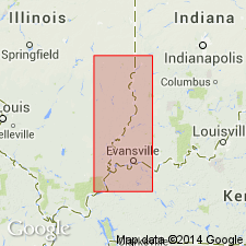
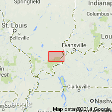
Type locality: near DeKoven Station, Shawneetown quadrangle, Union Co., KY.
Source: US geologic names lexicon (USGS Bull. 1200, p. 1076).
- Usage in publication:
-
- Dekoven Coal Member
- Dekoven coal bed
- Modifications:
-
- Overview
- Areal extent
- AAPG geologic province:
-
- Illinois basin
Summary:
Dekoven Coal Member of Spoon Formation is usage in IL, while in KY, unit is referred to informally as Dekoven coal bed of Carbondale Formation. In west-central and northwest part of Illinois basin, correlates with Greenbush Coal Member. In the southeastern part of the basin, the unit splits into two beds: lower bed pinches out, while upper bed becomes upper part of Seelyville Coal in southern IL and western KY. Underlying Davis Coal becomes lower bench of Seelyville Coal. Author proposes retaining dual nomenclature, but suggests vertical cutoffs along southern and western edge of Treworgy's (1981) study area.
Source: GNU records (USGS DDS-6; Reston GNULEX).

- Usage in publication:
-
- Dekoven Coal Member
- Modifications:
-
- Revised
- AAPG geologic province:
-
- Illinois basin
Summary:
Base of Carbondale Formation lowered 70 ft from base of Colchester Coal Member to base of Davis Coal Member. Therefore, Davis Coal Member, Dekoven Coal Member, and Palzo Sandstone Member now assigned to Carbondale Formation.
Source: GNU records (USGS DDS-6; Reston GNULEX).
- Usage in publication:
-
- Dekoven Coal Member
- Modifications:
-
- Overview
- AAPG geologic province:
-
- Illinois basin
Summary:
Like the Davis Coal below it, the Dekoven is widespread across the area. It averages 3 ft thick through much of the two counties. It locally reaches 4 to 5 ft in the east and thins to less than 2 ft to the north. The Dekoven increases in depth to the north, reaching 1,100 ft at the north-northwest edge of the study area. The Dekoven is typically overlain by either medium to dark gray, silty shale and siltstone or by a massive, thick sandstone that separates it from the overlying Colchester Coal Member. It is separated in most areas from the Davis Coal Member at the base of the Carbondale by black carbonaceous shale. A parting produces a lower split from the main bench. It had not been mapped in detail prior to this study. The lower Dekoven is 1 to 2 ft thick through most of the area and locally may be as much as 3 ft. The parting consists of a clastic wedge that interrupted peat accumulation in the northwestern third of the study area and increases in thickness northwestward to a maximum of 55 ft. It is composed mostly of sandstone, siltstone and shale. Above this parting, the upper split of the Dekoven is generally 3 ft thick.
Source: GNU records (USGS DDS-6; Reston GNULEX).
For more information, please contact Nancy Stamm, Geologic Names Committee Secretary.
Asterisk (*) indicates published by U.S. Geological Survey authors.
"No current usage" (†) implies that a name has been abandoned or has fallen into disuse. Former usage and, if known, replacement name given in parentheses ( ).
Slash (/) indicates name conflicts with nomenclatural guidelines (CSN, 1933; ACSN, 1961, 1970; NACSN, 1983, 2005, 2021). May be explained within brackets ([ ]).