The National Geologic Map Database is migrating to a new infrastructure. We apologize for any service disruptions during this process.
|
|---|


- Usage in publication:
-
- Deer Point Formation
- Modifications:
-
- Original reference
- Dominant lithology:
-
- Sandstone
- Shale
- AAPG geologic province:
-
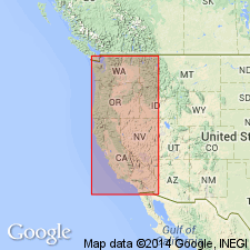
- Puget Sound province
Summary:
Pg. 133-134. Deer Point Formation. Graywacke sandstone and siltstone containing many volcanic fragments. Thickness 3,000 feet. Overlies Constitution Formation (new). Nonfossiliferous but presumed marine. Age is Late Jurassic or Early Cretaceous(?).
[Type area]: exposures on Orcas Island and Lopez Island, southeast San Juan Islands, San Juan Co., northwestern WA.
Source: US geologic names lexicon (USGS Bull. 1520, p. 82); GNU records (USGS DDS-6; Menlo GNULEX).
For more information, please contact Nancy Stamm, Geologic Names Committee Secretary.
Asterisk (*) indicates published by U.S. Geological Survey authors.
"No current usage" (†) implies that a name has been abandoned or has fallen into disuse. Former usage and, if known, replacement name given in parentheses ( ).
Slash (/) indicates name conflicts with nomenclatural guidelines (CSN, 1933; ACSN, 1961, 1970; NACSN, 1983, 2005, 2021). May be explained within brackets ([ ]).