The National Geologic Map Database is migrating to a new infrastructure. We apologize for any service disruptions during this process.
|
|---|


- Usage in publication:
-
- Deep Creek conglomerate
- Modifications:
-
- Original reference
- Dominant lithology:
-
- Conglomerate
- Shale
- Mudflow
- Tuff
- AAPG geologic province:
-
- Modoc Plateau province
- Great Basin province
Summary:
Vol. 1 (text) p. 29 (table 7), 60, 167 (table 14), 170 (fig. 20), 171; Vol. 2, pls. Deep Creek Conglomerate. Composed of westward-dipping beds of massive consolidated conglomerate separated by beds of shale, mudflows, and tuff. As shown on table of formation in Surprise Valley, underlies Miocene Cedarville series. Age is Oligocene to Miocene.
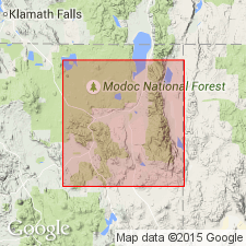
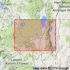
Crops out along western side of Surprise Valley, at foot of Warner Mountains, northeastern CA. [Probably named from North Deep Creek and South Deep Creek, Cedarville 7.5-min quadrangle, Modoc Co., northeastern CA.]
Source: GNU records (USGS DDS-6; Menlo GNULEX).
- Usage in publication:
-
- Deep Creek Formation
- Modifications:
-
- Redescribed
- Age modified
- AAPG geologic province:
-
- Modoc Plateau province
- Great Basin province
Summary:
[Deep Creek conglomerate of California Department of Water Resources (1963) is not mentioned]. Unit is traceable throughout study area (Warner Mountains). Ash flow tuff is best exposed between North and South Deep Creeks where it reaches thickness of 1500 ft. In Warren Peak section, unit is 800 ft thick. Stratigraphic chart shows unit overlies Steamboat Formation (new) and underlies Lost Woods Formation (new). This unit is Duffield and others' (1976) sedimentary sequence of mudflow debris, well-bedded conglomerate, sandstone, and minor andesitic tuff that yielded an Oligocene age.
Source: GNU records (USGS DDS-6; Menlo GNULEX).
For more information, please contact Nancy Stamm, Geologic Names Committee Secretary.
Asterisk (*) indicates published by U.S. Geological Survey authors.
"No current usage" (†) implies that a name has been abandoned or has fallen into disuse. Former usage and, if known, replacement name given in parentheses ( ).
Slash (/) indicates name conflicts with nomenclatural guidelines (CSN, 1933; ACSN, 1961, 1970; NACSN, 1983, 2005, 2021). May be explained within brackets ([ ]).