

- Usage in publication:
-
- Deadman Spring Dolomite
- Modifications:
-
- Named
- Dominant lithology:
-
- Dolomite
- AAPG geologic province:
-
- Great Basin province
Summary:
Pg. 69. Unit is named the Deadman Spring Dolomite. Consists of medium- to thin-bedded, moderate yellow-brown to light-gray, sandy dolomite. Thickness is 167 feet (51 m) at type. Conformably overlies the Juab Limestone; intertongues with the Kanosh Shale; conformably underlies the Eureka Quartzite. Age is Middle Ordovician.
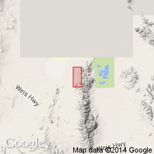
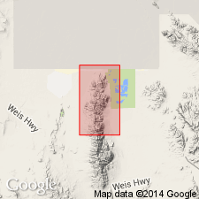
Type section: in NW/4 NE/4 sec. 10 [or sec. 9?], T. 11 S., R. 14 W., Juab Co., UT. Named from nearby Deadman Spring, northeastern Fish Springs Range.
[US geologic names lexicon (USGS Bull. 1520, p. 81) states type section is in sec. 9. Uncertain if Misprint. --unresolved.]
Source: GNU records (USGS DDS-6; Menlo GNULEX); US geologic names lexicon (USGS Bull. 1520, p. 80-81).
- Usage in publication:
-
- Deadman Spring Dolomite*
- Modifications:
-
- Adopted
- AAPG geologic province:
-
- Great Basin province
Summary:
Deadman Spring Dolomite of Oliveira (197[5]) is adopted. Age is Middle Ordovician.
Source: GNU records (USGS DDS-6; Menlo GNULEX).
For more information, please contact Nancy Stamm, Geologic Names Committee Secretary.
Asterisk (*) indicates published by U.S. Geological Survey authors.
"No current usage" (†) implies that a name has been abandoned or has fallen into disuse. Former usage and, if known, replacement name given in parentheses ( ).
Slash (/) indicates name conflicts with nomenclatural guidelines (CSN, 1933; ACSN, 1961, 1970; NACSN, 1983, 2005, 2021). May be explained within brackets ([ ]).