- Usage in publication:
-
- Davis Canyon Tuff*
- Modifications:
-
- Named
- Reference
- Geochronologic dating
- Dominant lithology:
-
- Tuff
- AAPG geologic province:
-
- Basin-and-Range province
Summary:
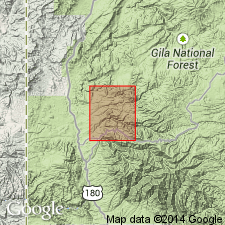
Davis Canyon Tuff of Oligocene (about 29 m.y. K-Ar on sanidine; 28.9 +/-l.0 and 30.7 +/-1.0 m.y. on biotite) age, named. Type section designated at S1/2 sec 11, T13S, R17W, Shelly Peak quad, Catron Co, NM in the Basin-and-Range province. Two reference sections also designated: 1) S1/2 sec 31, T8S, R20W; and 2) N1/2 sec 15, T8S, R20W, both in the Saliz Pass quad. Named for outcrops at head of Davis Canyon. Is a light-gray, phenocryst-poor, high-silica rhyolite ash-flow tuff. Contains 1-10 percent phenocrysts and microphenocrysts of sanidine, quartz., and sodic plagioclase generally less than 1 mm diameter in a devitrified granophyric to vitroclastic matrix. Source uncertain. Is 0-50+ m thick in Mogollon quad and 60 to 150 m at type. Overlies unnamed lava at type; underlies unnamed lava and Shelley Peak Tuff elsewhere; formerly part of Pacific Quartz Latite.
Source: GNU records (USGS DDS-6; Denver GNULEX).

- Usage in publication:
-
- Davis Canyon Tuff
- Modifications:
-
- Geochronologic dating
- AAPG geologic province:
-
- Basin-and-Range province
Summary:
Has a 29.03 m.y. (40Ar/39Ar) age [or Oligocene] in Mogollon-Datil volcanic field, Basin-and-Range province.
Source: GNU records (USGS DDS-6; Denver GNULEX).

- Usage in publication:
-
- Davis Canyon Tuff*
- Modifications:
-
- Areal extent
- Geochronologic dating
- Overview
- Paleomagnetics
- AAPG geologic province:
-
- Basin-and-Range province
Summary:
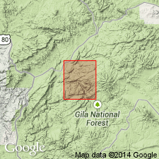
Mapped in Milligan Mountain quad, Catron Co, southwestern NM, Basin-and-Range province, where it and younger Vicks Peak Tuff replace Tularosa Canyon Rhyolite (abandoned). Source is Mogollon Mountains caldera complex 20-25 km to south of quad. Thickness is 40-50 m west of Tularosa River near Kimball Spring. Unit has reverse paleomagnetic polarity; paleomagnetic data (table 3). 40Ar/39Ar ages (table 2) range from 28.77 +/-0.07 Ma to 29.09 +/-0.08 Ma.
Source: GNU records (USGS DDS-6; Denver GNULEX).
For more information, please contact Nancy Stamm, Geologic Names Committee Secretary.
Asterisk (*) indicates published by U.S. Geological Survey authors.
"No current usage" (†) implies that a name has been abandoned or has fallen into disuse. Former usage and, if known, replacement name given in parentheses ( ).
Slash (/) indicates name conflicts with nomenclatural guidelines (CSN, 1933; ACSN, 1961, 1970; NACSN, 1983, 2005, 2021). May be explained within brackets ([ ]).

