The National Geologic Map Database is migrating to a new infrastructure. We apologize for any service disruptions during this process.
|
|---|


- Usage in publication:
-
- Dashner limestone member
- Modifications:
-
- Original reference
- Dominant lithology:
-
- Limestone
- AAPG geologic province:
-
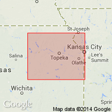
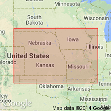
- Forest City basin
Summary:
Pg. 41. Dashner limestone. Basal member of Topeka limestone of Shawnee group. Rests on Calhoun shale and underlies Jones Point shale. Consists of light-bluish limestone that weathers brown, fine-grained, dense, massive; upper 1 foot contains chert nodules and OSAGIA; lower 3.5 feet has some large TRITICITES, ALLORISMA, and OSAGIA. Brachiopods and bryozoans common throughout. Thickness 5.5 feet. Age is Pennsylvanian.
[Origin of name not stated.]
Source: US geologic names lexicon (USGS Bull. 896, p. 573); GNC KS-NE Pennsylvanian Corr. Chart, sheet 2, Oct. 1936.
- Usage in publication:
-
- Dashner limestone member†
- Modifications:
-
- Abandoned
- AAPG geologic province:
-
- Forest City basin
Summary:
Pg. 52. †Dashner limestone member of Topeka limestone. Dr. Moore in 1935 [not regarded as publication] and again in 1936 (10th Ann. Field. Conf. Kansas Geol. Soc. Gdbk., p. 41) used "Dashner limestone" for the lower member of Topeka limestone but in a publication issued in 1936 (Kansas Geol. Survey Bull., no. 22, p. 194, 195 [issued Aug. 31, 1936]) did not use the name. Dr. Moore states (personal communication) that his type locality is Dashner farm, southeast of Haynies Station (now Sargeants siding) in Iowa. The interval which Moore classified as "Dashner" at his type locality appears to have included not only the interval which he classified as "Dashner" in Kansas River Valley, but also the Iowa Point shale and Curzen [Curzon] limestone members. This member is too poorly defined on Dashner farm to permit its being a good type locality. But at mouth of Wolf River the Wolf River limestone is separated from Curzen [Curzon] limestone above by 10+/- feet of shale and shows as complete a development as was seen in all of area covered in this study. In view of these facts and because Dr. Moore may have abandoned "Dashner," writers feel they are justified in giving new name Wolf River to lower member of the Topeka, defining a type locality where it is well developed and clearly set off from other limestone members both above and below.
Source: US geologic names lexicon (USGS Bull. 896, p. 573).
For more information, please contact Nancy Stamm, Geologic Names Committee Secretary.
Asterisk (*) indicates published by U.S. Geological Survey authors.
"No current usage" (†) implies that a name has been abandoned or has fallen into disuse. Former usage and, if known, replacement name given in parentheses ( ).
Slash (/) indicates name conflicts with nomenclatural guidelines (CSN, 1933; ACSN, 1961, 1970; NACSN, 1983, 2005, 2021). May be explained within brackets ([ ]).