- Usage in publication:
-
- Darwin Canyon Formation*
- Modifications:
-
- Original reference
- Biostratigraphic dating
- Dominant lithology:
-
- Sandstone
- AAPG geologic province:
-
- Great Basin province
Summary:
Pg. 3 (fig. 2), 7-12. Darwin Canyon Formation of Owens Valley Group. Well-bedded, brown-weathering, very fine grained sandstone and calcarenitic sandstone. Divided into (descending): Panamint Springs Member (new), sandstone and siltstone, 0 to 1,000 m thick; and Millers Spring Member (new), sandstone and limestone, 475 to 600 m thick. Unconformably underlies unnamed Early Triassic marine sedimentary rocks and conformably overlies Osborne Canyon Formation (new) of Owens Valley Group. Age is Early Permian (middle Wolfcampian to Leonardian?) based on fusulinids.
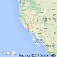
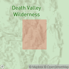
Type section (composite; = type sections of Panamint Springs and Millers Spring Members): upper part in Darwin Canyon, in E/2 sec. 4, T. 14 S., R. 41 E., Darwin 15-min quadrangle; lower part in Argus Range, in SW/4 sec. 13 and SE/4 sec. 14, T. 19 S., R. 41 E., Panamint Butte 15-min quadrangle, and in Darwin Canyon, in NW/4 sec. 10, SW/4 sec. 3, and SE/4 sec. 4, T. 19 S., R. 41 E., Darwin 15-min quadrangle, Inyo Co., eastern CA.
Source: Publication; GNU records (USGS DDS-6; Menlo GNULEX).

- Usage in publication:
-
- Darwin Canyon Formation*
- Modifications:
-
- Age modified
- Biostratigraphic dating
- AAPG geologic province:
-
- Great Basin province
Summary:
Pg. 3 (fig. 2), 15-17; App. p. 47-49, 55-56. Darwin Canyon Formation of Owens Valley Group. Brown-weathering, calcareous siltstone to very fine-grained sandstone, with minor calcarenitic limestone, conglomerate, and rare chert. Thickness 400+ m; top of formation not exposed due to faulting and erosion. (Not subdivided; bulk of formation exposed in map area resembles type Millers Spring Member; beds typical of Panamint Springs Member not present.) Overlies Osborne Canyon Formation of Owens Valley Group. Age is Early Permian (Cisuralian; Artinskian; late Wolfcampian to early Leonardian), based on conodonts. A 20+/- m-thick massive limestone bed containing unsorted limestone clasts and bioclasts, near top of formation, yielded reworked late Sakmarian to early Artinskian [middle to late Wolfcampian] fusulinids and corals; this bed is interpreted to be a submarine debris-flow deposit.
Source: Publication.
For more information, please contact Nancy Stamm, Geologic Names Committee Secretary.
Asterisk (*) indicates published by U.S. Geological Survey authors.
"No current usage" (†) implies that a name has been abandoned or has fallen into disuse. Former usage and, if known, replacement name given in parentheses ( ).
Slash (/) indicates name conflicts with nomenclatural guidelines (CSN, 1933; ACSN, 1961, 1970; NACSN, 1983, 2005, 2021). May be explained within brackets ([ ]).

