- Usage in publication:
-
- Dalecarlia Intrusive Suite
- Modifications:
-
- Areal extent
- AAPG geologic province:
-
- Piedmont-Blue Ridge province
Summary:
Dalecarlia Intrusive Suite used on the VA State map. Map symbol indicates a Cambrian and Ordovician age.
Source: GNU records (USGS DDS-6; Reston GNULEX).

- Usage in publication:
-
- Dalecarlia Intrusive Suite*
- Modifications:
-
- Principal reference
- Dominant lithology:
-
- Granite
- Trondhjemite
- Tonalite
- AAPG geologic province:
-
- Piedmont-Blue Ridge province
Summary:
Pg. 26-27, 31, geol. map. Dalecarlia Intrusive Suite. Consists of subequal parts of biotite monzogranite and leucocratic muscovite-biotite monzogranite, lesser muscovite trondhjemite, and much lesser tonalite. Rocks previously included in Kensington Tonalite and Bear Island Granodiorite by some geologists. Intrudes the Sykesville Formation and the Georgetown Intrusive Suite. Interpreted to be volcanic arc granitoids. Age is considered Early Ordovician.
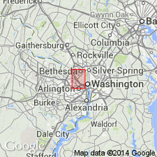
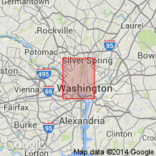
Named from exposures near Dalecarlia Reservoir and along Dalecarlia Parkway in Washington West 7.5-min quadrangle, District of Columbia. Extends south into Fairfax Co., Falls Church quadrangle, VA, and north into [Montgomery Co.], Kensington quadrangle, MD.
Source: Publication.

- Usage in publication:
-
- Dalecarlia Intrusive Suite*
- Modifications:
-
- Mapped
- AAPG geologic province:
-
- Piedmont-Blue Ridge province
Summary:
The Dalecarlia Intrusive Suite in the mapped area consists of biotite monzogranite with lesser muscovite trondhjemite and much lesser granodiorite and tonalite. The muscovite trondhjemite forms small plugs and sheets that cut the monzogranite and the adjacent metasediments of the Sykesville Formation. The Dalecarlia is of Early Ordovician age.
Source: GNU records (USGS DDS-6; Reston GNULEX).
For more information, please contact Nancy Stamm, Geologic Names Committee Secretary.
Asterisk (*) indicates published by U.S. Geological Survey authors.
"No current usage" (†) implies that a name has been abandoned or has fallen into disuse. Former usage and, if known, replacement name given in parentheses ( ).
Slash (/) indicates name conflicts with nomenclatural guidelines (CSN, 1933; ACSN, 1961, 1970; NACSN, 1983, 2005, 2021). May be explained within brackets ([ ]).

