

- Usage in publication:
-
- Dale Canyon Formation*
- Modifications:
-
- Named
- Dominant lithology:
-
- Sandstone
- Shale
- Conglomerate
- AAPG geologic province:
-
- Great Basin province
Summary:
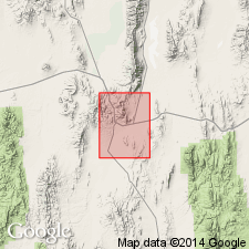
Named for exposures in lower Dale Canyon, southwest of Pinto Peak, Eureka Co, NV. Type section designated as exposures in sec.23 T18N R54E, Packer Basin, Pinto Summit quad, White Pine Co, NV. Consists of interbedded grit, sandstone, minor black shale and some thin beds of conglomerate. Maximum thickness is 1750 ft (455 m). Unconformably overlies Joana Limestone. Unconformably underlies Chainman Shale. Assigned Mississippian age.
Source: GNU records (USGS DDS-6; Menlo GNULEX).
For more information, please contact Nancy Stamm, Geologic Names Committee Secretary.
Asterisk (*) indicates published by U.S. Geological Survey authors.
"No current usage" (†) implies that a name has been abandoned or has fallen into disuse. Former usage and, if known, replacement name given in parentheses ( ).
Slash (/) indicates name conflicts with nomenclatural guidelines (CSN, 1933; ACSN, 1961, 1970; NACSN, 1983, 2005, 2021). May be explained within brackets ([ ]).