

- Usage in publication:
-
- Dake quartzite
- Modifications:
-
- Named
- Dominant lithology:
-
- Quartzite
- Conglomerate
- AAPG geologic province:
-
- Wisconsin arch
Summary:
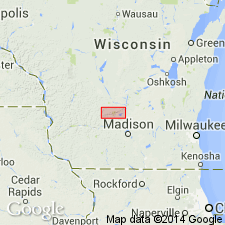
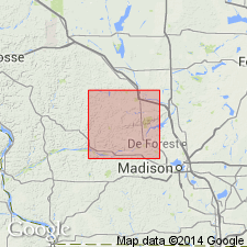
Unit here referred to as Dake quartzite encountered in 42 diamond drillholes in Baraboo district, all of which penetrated the quartzite and entered underlying Freedom formation. Thickness varies up to maximum of 214 ft, where it is overlain by Rowley Creek slate. It is coarse-grained quartzite containing large amount of sericite and chlorite as a matrix to the quartz grains. Large part of formation is coarsely conglomeratic, with large and sometimes angular pebbles. Occasionally lower part is loosely cemented with iron oxide, possibly derived from underlying Freedom formation. The quartzite is not known to outcrop, but writer believes that one, and possibly several, surface exposures formerly thought to be the much older Baraboo quartzite are Dake quartzite. One is on south bank of Baraboo River, near West Baraboo; another, more extensive, is on a low ridge approximately 2 mi east of Baraboo on north side of main highway from Baraboo to Portage. Because description of the quartzite which was found in the drillholes was made by C.L. Dake, and because writer believes the rock exposed on this ridge is same as that found in the drillholes, he has named it Dake Ridge.
Source: GNU records (USGS DDS-6; Reston GNULEX).

- Usage in publication:
-
- Dake Quartzite*
- Modifications:
-
- Overview
- AAPG geologic province:
-
- Wisconsin arch
Summary:
Present in outcrop and in a few widely distributed area in central southern WI on the Wisconsin arch. Erosional contact at base above Freedom Formation. Is early Proterozoic in age.
Source: GNU records (USGS DDS-6; Denver GNULEX).
- Usage in publication:
-
- "Dake quartzite"
- Modifications:
-
- Overview
- AAPG geologic province:
-
- Wisconsin arch
Summary:
Logs and report of C.L. Dake are no longer available. "Dake quartzite" is known only from description by Leith (1935). According to Leith's fig. 216, this quartzite occurs in middle of Baraboo syncline near the city of Baraboo and for several km eastward. Consists of quartzite, much of it conglomeratic, like the lower member of the Baraboo Formation. Much debate has surrounded the supposed exposures of Dake quartzite. Schmidt (1951) suggested that they may be part of the lower Baraboo Formation brought up by faulting, but no fault large enough is indicated by geophysical maps (Hinze, 1957). Dake problem cannot be resolved with presently available information.
Source: GNU records (USGS DDS-6; Reston GNULEX).
For more information, please contact Nancy Stamm, Geologic Names Committee Secretary.
Asterisk (*) indicates published by U.S. Geological Survey authors.
"No current usage" (†) implies that a name has been abandoned or has fallen into disuse. Former usage and, if known, replacement name given in parentheses ( ).
Slash (/) indicates name conflicts with nomenclatural guidelines (CSN, 1933; ACSN, 1961, 1970; NACSN, 1983, 2005, 2021). May be explained within brackets ([ ]).