The National Geologic Map Database is migrating to a new infrastructure. We apologize for any service disruptions during this process.
|
|---|


- Usage in publication:
-
- Custer formation
- Modifications:
-
- Original reference
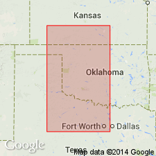
- AAPG geologic province:
-
- Anadarko basin
- Palo Duro basin
- Permian basin
Summary:
Pg. 688-725. Custer formation. Herein proposed for those red beds which in Kansas occur between Dog Creek shales and Lower Cretaceous or Comanche group. It occupies same interval in Oklahoma except where Dog Creek shales are absent, in which case the Custer may rest upon various members of the Blaine or Flower-pot shales. In Texas, the Custer occupies interval between base of Memphis sandstone and Santa Rosa conglomerate, or between the shales that overlie Croton gypsum and Camp Springs conglomerate or Comanchean at Double Mountain, Texas. In West Texas the Custer is = interval between Santa Rosa conglomerate and Capitan limestone or top of Carlsbad limestone. The unconformity at base of the Custer increases as distance from Rocky Mountains decreases, except in Texas. Writer believes it is present well above the Queen sand zone. [Assigned Custer to Lower Triassic (Bunter of Europe) and correlated it with Moenkopi, Timothy, Thaynes, Woodside and other Triassic formations of Rocky Mountains region, which he states it resembles in lithology.]
Named from Custer Co., OK, where almost whole formation is well exposed.
Source: US geologic names lexicon (USGS Bull. 896, p. 560).
- Usage in publication:
-
- Custer formation
- Modifications:
-
- Not used
Summary:
Pg. 834-839. Custer formation. Roth (1932) included in Triassic the Whitehorse sandstone, Cloud Chief gypsum, and the Quartermaster. For these 3 units he proposed "Custer." [Anderson discusses Roth's reasons for assigning these rocks to Triassic, and does not accept them. He assigned the rocks to Permian, as heretofore.]
Source: US geologic names lexicon (USGS Bull. 896, p. 560).
- Usage in publication:
-
- Custer group
- Modifications:
-
- Revised
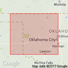
- AAPG geologic province:
-
- Anadarko basin
Summary:
Pg. 474. Custer group. In Andarko basin, Oklahoma, Roth's Custer formation would include sediments between base of Marlow formation and the Tertiary. In this area, there are unconformities which separate Marlow formation from Rush Springs formation and the Rush Springs from higher sediments. These mechanical changes may or may not be recognizable in other areas, but their presence over several counties in Oklahoma satisfied requirements for dividing Custer unit into formations. Custer cannot be correctly termed a formation because it contains within its boundaries good formations. Term Custer is an Oklahoma term, and Oklahoma conditions are important. Custer unit is correctly classified as a group. [Age considered Triassic(?).]
Source: US geologic names lexicon (USGS Bull. 1200, p. 1016-1017).
- Usage in publication:
-
- Custer formation
- Modifications:
-
- Areal extent
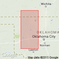
- AAPG geologic province:
-
- Anadarko basin
- Bend arch
- Fort Worth syncline
- Palo Duro basin
- Permian basin
Summary:
Pg. 421-474. Custer formation. Trace of unconformity at base of Custer mapped from Wheeler County southward to Coke County, Texas. Suggested that beds occupying interval between base of Dockum and the unconformity mapped be given one formation name, Custer, and that names now in usage be confined to the facies which they represent. In Collingsworth and Wheeler Counties, contact between base of Custer and older beds is one of sandstone resting on shale or gypsum. In Collingsworth and Hall Counties, includes Dozier Mounds dolomite member. In Childress and Cottle Counties, Childress dolomite is 3 to 20 feet above base of Custer. In King and Stonewall Counties, base is sandstone or gypsum. In Fisher, Nolan, and Coke Counties, base is marked by sandstone or anhydrite and a fine quartz conglomerate. In these counties, Eskota dolomite is from a few feet to 20 feet above base. Sediments below are shale, sandstones, or gypsum, or the "Blaine of Texas." In Nolan and Coke Counties, pre-Custer erosion has removed most of "Blaine of Texas," and the Custer rests on upper sandstone facies of the San Angelo. Terms Cloud Chief, Quartermaster, and Whitehorse have been very loosely applied to sediments of Custer age in Texas. [Age considered Triassic(?).]
Source: US geologic names lexicon (USGS Bull. 1200, p. 1016-1017).
- Usage in publication:
-
- Custer group
- Modifications:
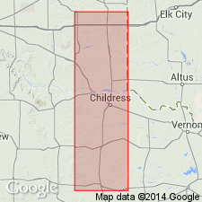
-
- Areal extent
Summary:
Pg. 313. Table shows Custer group comprises (ascending) Whitehorse formation, Day Creek dolomite, and Quartermaster formation. [Age considered Triassic(?).]
Source: US geologic names lexicon (USGS Bull. 1200, p. 1016-1017).
- Usage in publication:
-
- Custer group
- Modifications:
-
- Areal extent
Summary:
Pg. 1412, 1413. Custer group. Overlies Pease River group (new). [Age considered Triassic(?).]
Source: US geologic names lexicon (USGS Bull. 1200, p. 1016-1017).
- Usage in publication:
-
- Custer group†
- Modifications:
-
- Abandoned
Branson, C.C., 1957, Old stratigraphic names made available: Oklahoma Geology Notes, v. 17, no. 11, p. 99-103.
Summary:
Pg. 100. †Custer group. Abandoned by Oklahoma Geol. Survey. Roth grouped the Whitehorse, Cloud Chief, and Quartermaster and considered them of Triassic age. Grouping is not recognized, and name is not used.
Source: US geologic names lexicon (USGS Bull. 1200, p. 1016-1017).
For more information, please contact Nancy Stamm, Geologic Names Committee Secretary.
Asterisk (*) indicates published by U.S. Geological Survey authors.
"No current usage" (†) implies that a name has been abandoned or has fallen into disuse. Former usage and, if known, replacement name given in parentheses ( ).
Slash (/) indicates name conflicts with nomenclatural guidelines (CSN, 1933; ACSN, 1961, 1970; NACSN, 1983, 2005, 2021). May be explained within brackets ([ ]).