- Usage in publication:
-
- Cussewago sandstone
- Modifications:
-
- Named
- Dominant lithology:
-
- Sandstone
- AAPG geologic province:
-
- Appalachian basin
Summary:
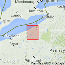
Cussewago sandstone, here named, described as a "very peculiar" rock as it appears along Cussewago Valley in Crawford Co., PA. Usually of buffish brown color, but in places dark green or greenish blue. Unit is quite coarse and in many places contains pebbles. Thickness is 25 ft. Underlies Cussewago Middle shales and flags and overlies Riceville shales. Cussewago sandstone is basal formation of Oil Lake group. Age given as Devonian or Carboniferous. [Cussewago shales renamed Hayfield formation by Chadwick, 1933.]
Source: GNU records (USGS DDS-6; Reston GNULEX).

- Usage in publication:
-
- Cussewago Member
- Modifications:
-
- Areal extent
- AAPG geologic province:
-
- Appalachian basin
Summary:
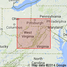
Cussewago cannot be confidently identified in WV. Though extended as a member of Price Formation by Kammer and Bjerstedt (1986), the massive sandstone present above the Oswayo Member is more probably basal Riddlesburg sandstone.
Source: GNU records (USGS DDS-6; Reston GNULEX).

- Usage in publication:
-
- Cussewago Sandstone, Sandstone Member
- Modifications:
-
- Age modified
- Biostratigraphic dating
- AAPG geologic province:
-
- Appalachian basin
Summary:
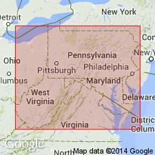
Age of the Price Formation in West Virginia is documented by three brachiopod fauna. The oldest two are of very late Devonian (late Famennian) age and are found in outcrops north of the West Virginia dome, at Hendricks and Rowlesburg, West Virginia, and Summit, Pennsylvania. The youngest fauna described here is of very early Carboniferous (early Kinderhookian age) and is widespread to the south. Therefore, Price Formation considered time-transgressive from northern to southern West Virginia. This concept supported by Kammer and Bjerstedt (1986) who reported Osagean fauna in extreme southern West Virginia. This conflicts with Englund and others (1988 [abs.], AAPG Bull. v. 72, p. 961) who view the Price as time-transgressive from south to north. Cloyd Conglomerate Member, base of Price at Caldwell, West Virginia, contains late Famennian brachiopods, while conformably overlying Riddlesburg is early Kinderhookian. Oswayo and Cussewago Sandstone Members in northern West Virginia and Oswayo Formation and Cussewago Sandstone in Pennsylvania contain late Famennian brachiopods. [Fig. 1, a cross-section from Caldwell, West Virginia, to Summit, Pennsylvania, implies that the Cussewago is present in western Maryland, but the text does not discuss its occurrence there.]
Source: GNU records (USGS DDS-6; Reston GNULEX).
For more information, please contact Nancy Stamm, Geologic Names Committee Secretary.
Asterisk (*) indicates published by U.S. Geological Survey authors.
"No current usage" (†) implies that a name has been abandoned or has fallen into disuse. Former usage and, if known, replacement name given in parentheses ( ).
Slash (/) indicates name conflicts with nomenclatural guidelines (CSN, 1933; ACSN, 1961, 1970; NACSN, 1983, 2005, 2021). May be explained within brackets ([ ]).

