The National Geologic Map Database is migrating to a new infrastructure. We apologize for any service disruptions during this process.
|
|---|


- Usage in publication:
-
- Curtiss Mountain quartzite
- Modifications:
-
- First used
- Dominant lithology:
-
- Quartzite
- AAPG geologic province:
-
- Appalachian basin
Summary:
Pg. D6. Within upper Elizaville (and upper Nassau) is conspicuous ridge-making green chloritic quartzite, 10 to 70 feet thick, named Curtiss [sic] Mountain quartzite. Appears to be facies between the Nassau, Elizaville, and Rensselaer, and thus holds position similar to that of Zion Hill Quartzite in northern Taconics.
Source: US geologic names lexicon (USGS Bull. 1350, p. 189).
- Usage in publication:
-
- Curtis Mountain Quartzite
- Modifications:
-
- Named
- Dominant lithology:
-
- Quartzite
- AAPG geologic province:
-
- Appalachian basin
Summary:
Formal proposal of name. Spelled Curtis Mountain in this report. Thickness 10 to 60 feet. Extends into Nassau red, purple, and green quartzose shales and thin quartzites, and into Elizaville green slate and argillite. Appears to be transitional into Rensselaer Graywacke. [In] Cossayuna Group.
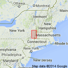
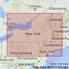
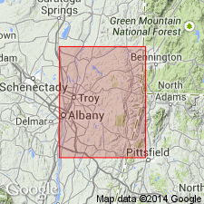
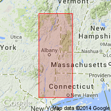
Type locality: Curtis Mountain, a prominent north-south ridge in southeastern quadrant of Troy quadrangle.
Source: US geologic names lexicon (USGS Bull. 1350, p. 190).
- Usage in publication:
-
- Curtis Mountain Quartzite
- Modifications:
-
- Overview
- AAPG geologic province:
-
- Appalachian basin
Summary:
Pg. 1567-1568. Lies about 400 to 800 feet below Dusenberry Hill Quartzite (new).
Source: US geologic names lexicon (USGS Bull. 1350, p. 190).
- Usage in publication:
-
- Curtis Mountain Quartzite
- Modifications:
-
- Overview
- AAPG geologic province:
-
- Appalachian basin
Summary:
Pg. 30-31. Cambrian(?) because it underlies fossiliferous Early Cambrian Ashley Hill Conglomerate in a conformable section. According to Dale (1904, USGS Bull. 142) two kinds of quartzite form three distinct beds on Curtis Mountain (Dusenberry Ridge). Fisher did not specify which of these beds is his Curtiss [sic] Mountain Quartzite, the lower two beds which are lithically alike, correspond to Fisher's description. Synonymy listed.
Source: US geologic names lexicon (USGS Bull. 1350, p. 190).
For more information, please contact Nancy Stamm, Geologic Names Committee Secretary.
Asterisk (*) indicates published by U.S. Geological Survey authors.
"No current usage" (†) implies that a name has been abandoned or has fallen into disuse. Former usage and, if known, replacement name given in parentheses ( ).
Slash (/) indicates name conflicts with nomenclatural guidelines (CSN, 1933; ACSN, 1961, 1970; NACSN, 1983, 2005, 2021). May be explained within brackets ([ ]).