The National Geologic Map Database is migrating to a new infrastructure. We apologize for any service disruptions during this process.
|
|---|


- Usage in publication:
-
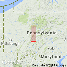
- Curtin limestone
- Modifications:
-
- Named
- Dominant lithology:
-
- Limestone
- AAPG geologic province:
-
- Appalachian basin
Kay, G.M., 1943, Chemical lime in Pennsylvania: Economic Geology, v. 38, no. 3, p. 188-203.
Summary:
Named the Curtin limestone as uppermost unit in Black River group for Curtin Gap, Centre Co., central PA. Consists of impure and relatively pure limestone with five metabentonites (termed A-E). Unit is divided into the Valley View member and overlying Valentine member. Thickness is 143 feet at type locality and thins along northwest side of Nittany Valley to extinction along line from Tyrone to north of Lemont, Oak Hall, and Spring Mills, and south of Millheim. Overlies Stover member of Benner limestone and unconformably underlies Nealmont limestone. The Curtin is of Middle Ordovician age.
Source: GNU records (USGS DDS-6; Reston GNULEX).
- Usage in publication:
-
- Curtin†
- Modifications:
-
- Abandoned
- AAPG geologic province:
-
- Appalachian basin
Summary:
Abandoned the Curtin Limestone. Unit replaced by the Linden Hall Formation.
Source: GNU records (USGS DDS-6; Reston GNULEX).
For more information, please contact Nancy Stamm, Geologic Names Committee Secretary.
Asterisk (*) indicates published by U.S. Geological Survey authors.
"No current usage" (†) implies that a name has been abandoned or has fallen into disuse. Former usage and, if known, replacement name given in parentheses ( ).
Slash (/) indicates name conflicts with nomenclatural guidelines (CSN, 1933; ACSN, 1961, 1970; NACSN, 1983, 2005, 2021). May be explained within brackets ([ ]).