- Usage in publication:
-
- Currant Creek formation
- Modifications:
-
- Original reference
- Dominant lithology:
-
- Conglomerate
- Sandstone
- Shale
- AAPG geologic province:
-
- Uinta basin
Summary:
Pg. 117-120, pls. 1, 2, 3. Currant Creek formation. Proposed for sequence of conglomerates, sandstones, and variegated shales, which, in western part of Uinta basin, transect Mesaverde Niobraran beds and unconformably underlie Eocene strata of probable Uinta age. Thickness along Red Creek 4,550 feet. Tentatively referred to Upper Cretaceous but probably represents transitional strata deposited from late Late Cretaceous to Eocene during early phases of Laramide folding.
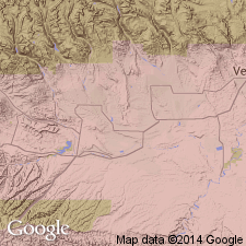
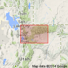
Exposed from Currant Creek to a few mi east of Duchesne River, Wasatch and Duchesne Cos., northeastern UT; measured section along Red Creek.
Source: US geologic names lexicon (USGS Bull. 1200, p. 1011); supplemental information from GNU records (USGS DDS-6; Denver GNULEX).

- Usage in publication:
-
- Currant Creek Formation*
- Modifications:
-
- Age modified
- Overview
- AAPG geologic province:
-
- Uinta basin
Summary:
Crops out only on northwest side of Uinta basin from near Strawberry Reservoir (west), Wasatch Co nearly to Dry Mountain (east), Duchesne Co. Composed of conglomerate of pebbles, cobbles, and boulders resembling Oquirrh Group and Late Proterozoic quartzite (west), and finer grained conglomerate, more sandstone and siltstone (east). Deposited by streams flowing south to southeast. Source to northwest. Palynomorphs of late Coniacian or Santonian age in underlying Mesaverde Group. Palynomorphs of late Campanian or early Maestrichtian age at base of Currant Creek. Mesaverde-Currant Creek unconformity represents hiatus of 9 to 15 m.y. Only lower 100 m of Currant Creek has been dated. Deposition of Currant Creek may have extended into Paleocene. Age changed from Late Cretaceous? to Late Cretaceous and Paleocene?. Correlative with North Horn Formation of west part of basin. Top of Currant Creek defined by alluvial rocks of Duchesne River Formation whereas top of North Horn defined by lacustrine rocks of Flagstaff Member. Geologic map.
Source: GNU records (USGS DDS-6; Denver GNULEX).

- Usage in publication:
-
- Currant Creek Formation*
- Modifications:
-
- Overview
- AAPG geologic province:
-
- Uinta uplift
Summary:
Basal part at Red Creek and east of Duchesne River, Duchesne Co, UT in the Uinta basin contains palynomorphs of late Campanian and early Maestrichtian, and east of Duchesne River contains ostracodes and charophytes of Late Cretaceous age. Ranges from 0 to 1,500 m thick.
Source: GNU records (USGS DDS-6; Denver GNULEX).
For more information, please contact Nancy Stamm, Geologic Names Committee Secretary.
Asterisk (*) indicates published by U.S. Geological Survey authors.
"No current usage" (†) implies that a name has been abandoned or has fallen into disuse. Former usage and, if known, replacement name given in parentheses ( ).
Slash (/) indicates name conflicts with nomenclatural guidelines (CSN, 1933; ACSN, 1961, 1970; NACSN, 1983, 2005, 2021). May be explained within brackets ([ ]).

