

- Usage in publication:
-
- Cup Coral member
- Modifications:
-
- Original reference
- Dominant lithology:
-
- Shale
- Sandstone
- AAPG geologic province:
-
- South Oklahoma folded belt
Summary:
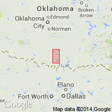
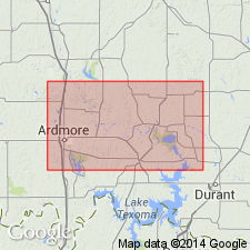
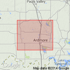
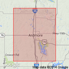
Cup Coral member of Glenn formation. Blue shales separated by thin sandstones and an occasional limestone; 1,500 to 1,800 feet thick. Is easily distinguished by a white limestone near top, which carries a large cup coral (CAMPOPHYLLUM TORQUIUM); south of Ardmore this limestone is exposed in only one place. To south of Woodford 5 of the 7 sandstone beds are asphalt bearing. Underlies Deese member and overlies Otterville limestone member (both of Glenn). Present in Carter County, central southern Oklahoma. Correlates with Millsap formation of north-central Texas, and Boggy shale north of Arbuckle Mountains (corr. chart). Age is Pennsylvanian. Report includes geologic map, structural map, cross sections, correlation chart, fossil list.
Source: US geologic names lexicon (USGS Bull. 896, p. 555-556); supplemental information from GNU records (USGS DDS-6; Denver GNULEX).
- Usage in publication:
-
- Cup Coral member
- Modifications:
-
- Overview
Summary:
Pg. 331-347. Glenn formation includes only Deese and Cup-Coral members of Goldston.
Source: US geologic names lexicon (USGS Bull. 896, p. 555-556).
- Usage in publication:
-
- Cup Coral member
- Modifications:
-
- Not used
- AAPG geologic province:
-
- South Oklahoma folded belt
Summary:
Pg. 7-21. Deese formation (5,000+/- feet thick) underlies Hoxbar formation and rests on Dornick Hills formation, which overlies Springer formation and includes Otterville limestone restricted.
Source: US geologic names lexicon (USGS Bull. 896, p. 555-556).
- Usage in publication:
-
- Cup Coral member†
- Modifications:
-
- Abandoned
Summary:
Dornick Hills formation, 1,500 to 4,000 feet thick, includes Goldston's Otterville and Cup Coral members of Glenn formation and a little more. "Cup Coral member" is discarded as confusing and inappropriate. As mapped by Goldston its stratigraphic limits were rather variable, and name gives no clue to type locality. Also, cup corals are common at certain horizons in overlying Deese formation, and occur also in Jolliff, Otterville, and other limestone members of Dornick Hills formation, and at one locality in Hoxbar formation.
Source: US geologic names lexicon (USGS Bull. 896, p. 555-556).
For more information, please contact Nancy Stamm, Geologic Names Committee Secretary.
Asterisk (*) indicates published by U.S. Geological Survey authors.
"No current usage" (†) implies that a name has been abandoned or has fallen into disuse. Former usage and, if known, replacement name given in parentheses ( ).
Slash (/) indicates name conflicts with nomenclatural guidelines (CSN, 1933; ACSN, 1961, 1970; NACSN, 1983, 2005, 2021). May be explained within brackets ([ ]).