The National Geologic Map Database is migrating to a new infrastructure. We apologize for any service disruptions during this process.
|
|---|


- Usage in publication:
-
- Cumnock formation
- Modifications:
-
- Named
- Dominant lithology:
-
- Slate
- Shale
- Sandstone
- AAPG geologic province:
-
- Piedmont-Blue Ridge province
Summary:
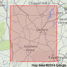
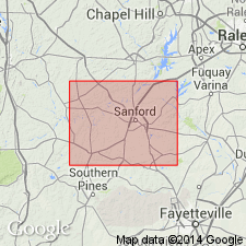
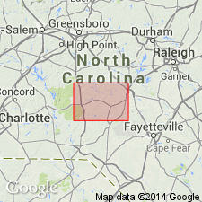
The Cumnock formation of the Newark group is here named for exposures of light-colored coal-bearing slate, shale, and sandstone in the shaft of the Cumnock coal mine, Lee Co., NC, where it is about 1,000 ft thick. The unit outcrops in the central part of the Deep River coal field, and gradationally overlies the Pekin and underlies the Sanford formations.
Source: GNU records (USGS DDS-6; Reston GNULEX).
- Usage in publication:
-
- Cumnock formation*
- Modifications:
-
- Overview
- AAPG geologic province:
-
- Piedmont-Blue Ridge province
Summary:
The Cumnock formation of the Newark group is here adopted by the USGS. The contact with the gradationally underlying Pekin formation is drawn at the top of the highest persistent red or brown beds below the Cumnock coal beds, and the contact with the gradationally overlying Sanford Formation is drawn at the base of the lowest persistent red or brown beds above the coal beds. The Cumnock crops out in a narrow belt along the northwest side of the Sanford basin and at the southern end of the Durham basin.
Source: GNU records (USGS DDS-6; Reston GNULEX).
- Usage in publication:
-
- Cumnock Formation
- Modifications:
-
- Age modified
- Biostratigraphic dating
- AAPG geologic province:
-
- Piedmont-Blue Ridge province
Summary:
Age of the Cumnock Formation is late middle Carnian based on palynoflora in the Pekin and Cumnock Formations.
Source: GNU records (USGS DDS-6; Reston GNULEX).
- Usage in publication:
-
- Cumnock Formation
- Modifications:
-
- Revised
- AAPG geologic province:
-
- Piedmont-Blue Ridge province
Summary:
The Cumnock Formation is here assigned to the Chatham Group of the Newark Supergroup.
Source: GNU records (USGS DDS-6; Reston GNULEX).
- Usage in publication:
-
- Cumnock Formation*
- Modifications:
-
- Age modified
- Biostratigraphic dating
- AAPG geologic province:
-
- Piedmont-Blue Ridge province
Summary:
This report revises the ages of the Chatham Group rocks. Late Carnian palynomorphs in Wadesboro subbasin attributed to the type Pekin Formation (lowest of the Chatham Group) extend the age of the Pekin into the late Carnian. Late Carnian palynomorphs were also identified in the Cumnock Formation in the Sanford subbasin, thus confirming the age of the Cumnock. Plant megafossil and fossil vertebrate data from rocks in the Sanford subbasin also support these ages. Although the Sanford Formation has not been dated paleontologically, it must extend into the lower Norian on the basis of lithologic correlation with the Stoneville Formation of the Danville-Dan River basin 100 km to the northeast. The upper part of the Stoneville contains early Norian palynomorphs. This evidence indicates that Chatham Group sediments were deposited from the early(?) Carnian through the early Norian, a much longer interval than previously thought.
Source: GNU records (USGS DDS-6; Reston GNULEX).
For more information, please contact Nancy Stamm, Geologic Names Committee Secretary.
Asterisk (*) indicates published by U.S. Geological Survey authors.
"No current usage" (†) implies that a name has been abandoned or has fallen into disuse. Former usage and, if known, replacement name given in parentheses ( ).
Slash (/) indicates name conflicts with nomenclatural guidelines (CSN, 1933; ACSN, 1961, 1970; NACSN, 1983, 2005, 2021). May be explained within brackets ([ ]).