

- Usage in publication:
-
- Cub Mountain formation
- Modifications:
-
- Original reference
- Dominant lithology:
-
- Sandstone
- Siltstone
- Conglomerate
- Shale
- AAPG geologic province:
-
- Orogrande basin
Summary:
Pg. 1, 8-11, figs. 2, 3. Cub Mountain formation. Consists of beds of pale-yellow to gray coarse-grained quartzose sandstones, with lenses of quartzite and chert-pebble conglomerate. Color not at all reliable because it changes drastically, both vertically and horizontally. Thickness at least 500 feet. Underlies Tertiary rocks with unconformity and overlies Mesaverde group with apparent unconformity. May be as old as latest Cretaceous or as young as Miocene.
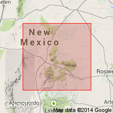
Named from an isolated peak 7 mi due south of Carrizozo and 18 mi due west of Capitan, Lincoln Co., central NM. Exposed in southwest flank of the mountain.
[Footnote was inadvertently omitted from Bodine's article crediting the formation to R.H. Weber [1964]. See Lucas and others (1989).]
Source: US geologic names lexicon (USGS Bull. 1200, p. 1001).
- Usage in publication:
-
- Cub Mountain formation
- Modifications:
-
- Mapped
- AAPG geologic province:
-
- Orogrande basin
Summary:
Pg. 7 (table 2), 12, pl. 2. Cub Mountain formation. Thickness about 2,000 feet. Mapped as Eocene.
Source: US geologic names lexicon (USGS Bull. 1200, p. 1001).
- Usage in publication:
-
- Cub Mountain Formation*
- Modifications:
-
- Not used
Summary:
Name Cub Mountain Formation not used. Six exposures on the geologic map assigned to the Cub Mountain Formation by Bodine (1964) and by Weber (1964) are considered to be McRae Formation in this report. Assignment to McRae is in agreement with Thompson (1966).
Source: GNU records (USGS DDS-6; Denver GNULEX).
- Usage in publication:
-
- Cub Mountain Formation
- Modifications:
-
- Biostratigraphic dating
- AAPG geologic province:
-
- Orogrande basin
Summary:
Cub Mountain Formation. Interbedded gray, pink, red sandstone, mudstone, and minor conglomerate. Thickness as much as 730 m. Deposited by braided streams. Disconformably overlies Lower Cretaceous Mesaverde Group. Underlies unnamed volcaniclastic detritus with apparent conformity. Age is Eocene, based on fossils (turtles) collected from about 100 m above base (=near Wasatchian-Bridgerian boundary, about 50 +/-2 Ma) and previously published K-Ar date of 47.7 +/-2.9 Ma on alkali-gabbro and monzo-gabbro dikes and dike swarms in Sierra Blanca vicinity (R.F. Marvin, USGS, IN Moore and Foord, 1986, New Mexico Bur. Mines and Min. Res., AAPG-SW Sec. Trans. Gdbk., p. 29-36). Report includes measured sections.
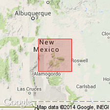
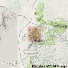
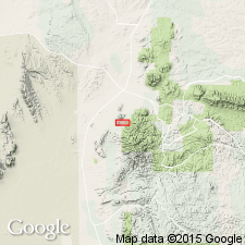
Type section stated to be in Sanders Canyon between Cub and Chaves Mountains, in SW/4 SW/4 sec. 16 to SW/4 SW/4 sec. 24, T. 9 S., R. 10 E., [from approx. Lat. 33 deg. 31 min. 20 sec. N., Long. 105 deg. 54 min. 50 sec. W. to Lat. 33 deg. 30 min. 30 sec. N., Long. 105 deg. 51 min. 45 sec. W.], Carrizozo 15-min quadrangle, Lincoln Co., [along western bdry. Lincoln National Forest], central NM (citing Weber, 1964, New Mexico Geol. Soc. Gdbk., no. 15).
[Additional locality information from USGS historical topographic map collection TopoView, accessed November 19, 2022.]
Source: Publication; GNC index card files (USGS-Menlo).
For more information, please contact Nancy Stamm, Geologic Names Committee Secretary.
Asterisk (*) indicates published by U.S. Geological Survey authors.
"No current usage" (†) implies that a name has been abandoned or has fallen into disuse. Former usage and, if known, replacement name given in parentheses ( ).
Slash (/) indicates name conflicts with nomenclatural guidelines (CSN, 1933; ACSN, 1961, 1970; NACSN, 1983, 2005, 2021). May be explained within brackets ([ ]).