

- Usage in publication:
-
- Crystal Mountain sandstone
- Modifications:
-
- Original reference
- Dominant lithology:
-
- Shale
- Sandstone
- AAPG geologic province:
-
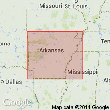
- Ouachita folded belt
Summary:
Pg. 30, 32; GSA Bull., v. 19, p. 557, 1909 [abs.]. Crystal Mountain sandstone. Lower 300 feet massive, coarse-grained, white sandstone which weathers light brown; upper 400 feet massive sandstone interbedded with black to gray shale, the shale in places altered to ribboned slate. In many parts of formation the lower sandstone is thickly set with network of quartz veins from thickness of knife blade to several inches; in other parts there are fissures from several inches to several feet wide the walls of which are lined with magnificent clusters of quartz crystals, which gave rise to name of Crystal Mountains. Overlies, probably unconformably, Collier shale; grades into overlying Ouachita shale. [Age is Ordovician(?) (Early Ordovician?).]
[Named from Crystal Mountains, Montgomery Co., southwestern AR.]
Source: US geologic names lexicon (USGS Bull. 896, p. 551).
For more information, please contact Nancy Stamm, Geologic Names Committee Secretary.
Asterisk (*) indicates published by U.S. Geological Survey authors.
"No current usage" (†) implies that a name has been abandoned or has fallen into disuse. Former usage and, if known, replacement name given in parentheses ( ).
Slash (/) indicates name conflicts with nomenclatural guidelines (CSN, 1933; ACSN, 1961, 1970; NACSN, 1983, 2005, 2021). May be explained within brackets ([ ]).