The National Geologic Map Database is migrating to a new infrastructure. We apologize for any service disruptions during this process.
|
|---|


- Usage in publication:
-
- Crown conglomerate
- Modifications:
-
- First used
- Dominant lithology:
-
- Conglomerate
- AAPG geologic province:
-
- Permian basin
Summary:
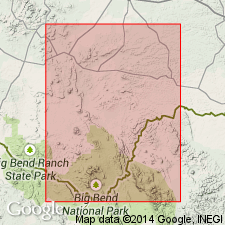
First used to describe three conglomerates (each 10 or 20 ft thick) interbedded with strata resembling the typical Chisos beds (new) in the base of Crown Peak at east end of Green Gulch, southern Brewster Co, TX in Permian basin. Many pebbles and boulders are well rounded; most consist of various kinds of lavas and trap rocks, but limestones (some containing Early Cretaceous fossils) are also well represented. Strata dip about 45 degrees to north-northeast. Conglomerates of the same kind are noted elsewhere in the area. Assumed to be same age (Cretaceous?) as Chisos beds as the gravels are interbedded with sediments identical in appearance, overlie them, and have the same dips. It is further noted that the Chisos beds have occasional layers of the same kinds of gravels, containing rounded pebbles of limestone and igneous rocks.
Source: GNU records (USGS DDS-6; Denver GNULEX).
For more information, please contact Nancy Stamm, Geologic Names Committee Secretary.
Asterisk (*) indicates published by U.S. Geological Survey authors.
"No current usage" (†) implies that a name has been abandoned or has fallen into disuse. Former usage and, if known, replacement name given in parentheses ( ).
Slash (/) indicates name conflicts with nomenclatural guidelines (CSN, 1933; ACSN, 1961, 1970; NACSN, 1983, 2005, 2021). May be explained within brackets ([ ]).