- Usage in publication:
-
- Crooked Swamp dolomite facies
- Modifications:
-
- Overview
- AAPG geologic province:
-
- Appalachian basin
Summary:
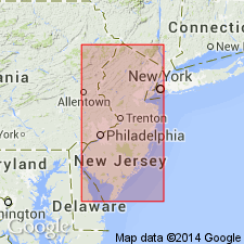
Nomenclature followed here is that of Markewicz and Dalton (1977) who divided the Rickenbach into a lower unnamed member, the overlying Hope Member, and a distinct facies named the Crooked Swamp dolomite. The Crooked Swamp dolomite facies consists of light-gray to medium gray, light-gray weathering, fine- to coarse-grained, euhedral dolomite and is best developed near Crooked Swamp, 1.5 mi north of the town of Lafayette, Sussex Co. At its type locality is 150 to 200 ft thick but thins abruptly to the north and south. As the unit thins, a distinctive conglomerate occurs in the upper Rickenbach and in the basal part of the overlying Epler. Age of the Rickenbach is Early Ordovician.
Source: GNU records (USGS DDS-6; Reston GNULEX).
For more information, please contact Nancy Stamm, Geologic Names Committee Secretary.
Asterisk (*) indicates published by U.S. Geological Survey authors.
"No current usage" (†) implies that a name has been abandoned or has fallen into disuse. Former usage and, if known, replacement name given in parentheses ( ).
Slash (/) indicates name conflicts with nomenclatural guidelines (CSN, 1933; ACSN, 1961, 1970; NACSN, 1983, 2005, 2021). May be explained within brackets ([ ]).

