The National Geologic Map Database is migrating to a new infrastructure. We apologize for any service disruptions during this process.
|
|---|


- Usage in publication:
-
- Crisfield sandstone member*
- Modifications:
-
- Original reference
- AAPG geologic province:
-
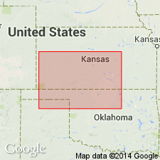
- Anadarko basin
- Sedgwick basin
Summary:
Pg. 1788. Also, R.C. Moore, J.C. Frye, and J.M. Jewett, 1944, Kansas Geol. Survey Bull., no. 52, p. 159. Crisfield sandstone member of Salt Plains formation. Sandstone about 29 feet thick occurring about 115 feet below top of formation. Age is Permian. Name credited to G.L. Knight.
Type locality not stated. Outcrops in Harper and Barber Cos., southern KS.
Source: US geologic names lexicon (USGS Bull. 1200, p. 985).
For more information, please contact Nancy Stamm, Geologic Names Committee Secretary.
Asterisk (*) indicates published by U.S. Geological Survey authors.
"No current usage" (†) implies that a name has been abandoned or has fallen into disuse. Former usage and, if known, replacement name given in parentheses ( ).
Slash (/) indicates name conflicts with nomenclatural guidelines (CSN, 1933; ACSN, 1961, 1970; NACSN, 1983, 2005, 2021). May be explained within brackets ([ ]).