

- Usage in publication:
-
- Creston red shale
- Creston reds
- Modifications:
-
- Original reference
- Dominant lithology:
-
- Shale
- AAPG geologic province:
-
- Appalachian basin
Summary:
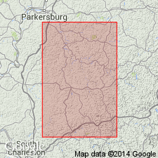
Pg. 154. Creston red shale or Creston reds in Washington formation. Dark red shale with limestone nuggets. Thickness 40 to 60 feet. Underlies Washington A coal and overlies Lower Marietta sandstone. Present in western West Virginia and southeastern Ohio. Age is Permian.
Named from occurrence at Creston Flats, 1 mi east of Creston, Wirt Co., WV.
Source: US geologic names lexicon (USGS Bull. 896, p. 542).
- Usage in publication:
-
- Creston red shale
- Modifications:
-
- Revised
- AAPG geologic province:
-
- Appalachian basin
Summary:
Pg. 9. Creston red shale. Maximum thickness 60 feet, occurs between upper and lower Marietta sandstone, about 300 feet above base of Dunkard Series. Commonly contains limestone nodules and locally interstratified with sandstone. Age is Permian (Dunkard Series).
Source: US geologic names lexicon (USGS Bull. 1200, p. 982).
- Usage in publication:
-
- Creston shale
- Modifications:
-
- Revised
- AAPG geologic province:
-
- Appalachian basin
Summary:
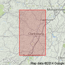
Pg. 18 (table 2). Creston shale in Washington formation of Dunkard group. Listed in stratigraphic summary of Dunkard group in Harrison County, western West Virginia. Thickness 30 to 60 feet. Above Middle Washington limestone and below Washington "A" coal and (or) field clay and black carbonaceous shale. Age is Permian (Dunkard Series).
Source: US geologic names lexicon (USGS Bull. 1200, p. 982).
For more information, please contact Nancy Stamm, Geologic Names Committee Secretary.
Asterisk (*) indicates published by U.S. Geological Survey authors.
"No current usage" (†) implies that a name has been abandoned or has fallen into disuse. Former usage and, if known, replacement name given in parentheses ( ).
Slash (/) indicates name conflicts with nomenclatural guidelines (CSN, 1933; ACSN, 1961, 1970; NACSN, 1983, 2005, 2021). May be explained within brackets ([ ]).