- Usage in publication:
-
- Crescent formation*
- Modifications:
-
- Named
- Biostratigraphic dating
- Dominant lithology:
-
- Basalt
- Tuff
- AAPG geologic province:
-
- Olympic Mountains province
Summary:
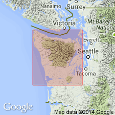
Named for Port Crescent on south shore of Strait of Juan de Fuca, where "... a 1200-ft series of black basalt and greenish basalt tuffs and tuffaceous sands ... comprise the region immediately west of Crescent Bay and prominent ridge extending eastward [3.5 mi] ... to Freshwater Bay", Clallam Co, WA. No type given. Represents the only rocks of igneous origin along whole length of northern shore of peninsula. At Crescent Bay, consists of (ascending): 200-ft black basalt; 200-ft greenish basalt tuff and tuffaceous sand, intimately associated with top of underlying basalt; and 200-ft black basalt. At Freshwater Bay, consists of (ascending): 600-ft basalt and coarse tuff, 375-ft thin-bedded green tuff, and 200-ft black vesicular basalt. Basal contact not exposed. Overlain by coarse conglomerate. Characteristic fossils in tuff indicate Eocene age.
Source: GNU records (USGS DDS-6; Menlo GNULEX).
- Usage in publication:
-
- Crescent formation*
- Modifications:
-
- Biostratigraphic dating
- Areal extent
- Overview
- AAPG geologic province:
-
- Olympic Mountains province
Summary:
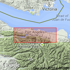
Extended to include basaltic flow, pyroclastic, and volcaniclastic rocks in south limb of Clallam syncline, more than 10,000 ft thick at Lake Crescent [that form belt 2 to 5 mi wide and more than 30 mi long] from [beyond] Mount Muller on west, southeastward to [beyond] Round Mountain. Type locality [assumed to be Arnold's original naming locality at west end of Crescent Bay] in north limb of Clallam syncline where sequence is a small but typical part. Columnar section shows rocks are mainly massive pillow and diabasic basalt flows, flow- and tuff-breccia, and tuff with [subordinate] interbedded basaltic conglomerate and sandstone and well-indurated massive tuffaceous siltstone and argillite. Underlies and interfingers with Aldwell formation; overlies and interfingers with argillite and graywacke. Megafossils and Foraminifera indicate early(?) and middle Eocene age.
Source: GNU records (USGS DDS-6; Menlo GNULEX).
- Usage in publication:
-
- Crescent Formation*
- Modifications:
-
- Areal extent
- Biostratigraphic dating
- AAPG geologic province:
-
- Olympic Mountains province
Summary:
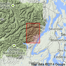
Underlies about 174 sq mi of mapped area of The Brothers quad and is [somewhat less than] 10 mi thick. Consists of three informal members (ascending); (1) associated sedimentary rocks of silty mudstone, limestone, and sandstone; (2) lower basalt member of pillow flows, massive diabasic flows, breccia, and sills, and interbeds of basaltic sandstone, siltstone, and limestone; and (3) upper basalt member of columnar-jointed flows and mudflow breccia, and minor limestone. [Neither upper nor lower contact are described]. Limestones contain early or middle Eocene planktonic foraminifers in lower part of formation and late early to early middle Eocene benthonic foraminifers in the upper part (W.W. Rau, written commun., 1966; Rau, 1964). Map legend gives age as early and middle Eocene.
Source: GNU records (USGS DDS-6; Menlo GNULEX).
- Usage in publication:
-
- Crescent Formation*
- Modifications:
-
- Areal extent
- Biostratigraphic dating
- AAPG geologic province:
-
- Olympic Mountains province
Summary:
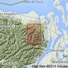
[Underlies about 135 sq mi in Tyler Peak 15' quad.] Is about 6 mi thick. Divided into three informal members as in The Brothers 15' quad by Cady and others (1972). Age is early and middle Eocene based on Foraminifera in interbedded limestones.
Source: GNU records (USGS DDS-6; Menlo GNULEX).
- Usage in publication:
-
- Crescent Formation*
- Modifications:
-
- Areal extent
- Biostratigraphic dating
- AAPG geologic province:
-
- Oregon-Washington Coast Ranges province
Summary:
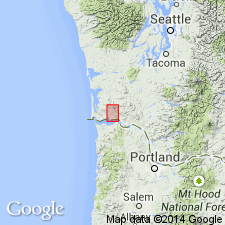
Exposed over 20 to 30 sq mi in northeastern and northwestern parts of Grays River 15' quad, Pacific and Wakiakum Cos, in extreme southwestern WA. Consists of massive columnar-jointed and pillow tholeiitic basalt and small amount of aquagene tuff and siltstone (locally Radiolaria-bearing) more than 5000 ft thick. Base is not exposed. Overlain by and possibly intertongues with [map] unit A of interbedded siltstone and sandstone. Foraminifers from siltstone indicate middle Eocene or possibly earliest late Eocene(?) age.
Source: GNU records (USGS DDS-6; Menlo GNULEX).
- Usage in publication:
-
- Crescent Formation*
- Modifications:
-
- Age modified
- AAPG geologic province:
-
- Olympic Mountains province
Summary:
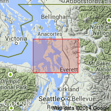
Unit age regarded as early or middle Eocene in area of report. [Geologic map of Port Townsend 30'x60' quad shows Crescent Formation occurs east of Port Discovery on Quimper Peninsula and west of Port Discovery on Miller Peninsula.]
Source: GNU records (USGS DDS-6; Menlo GNULEX).
For more information, please contact Nancy Stamm, Geologic Names Committee Secretary.
Asterisk (*) indicates published by U.S. Geological Survey authors.
"No current usage" (†) implies that a name has been abandoned or has fallen into disuse. Former usage and, if known, replacement name given in parentheses ( ).
Slash (/) indicates name conflicts with nomenclatural guidelines (CSN, 1933; ACSN, 1961, 1970; NACSN, 1983, 2005, 2021). May be explained within brackets ([ ]).

