

- Usage in publication:
-
- Crekola sandstone member*
- Modifications:
-
- Original reference
- Dominant lithology:
-
- Sandstone
- AAPG geologic province:
-
- Arkoma basin
- Chautauqua platform
Summary:
Pg. 503-520. Crekola sandstone member of Boggy shale. Brown sandstone, regularly bedded, blocky, medium textrue, 10 feet thick. Lies 10+/- feet below Inola limestone member of Boggy and 6+/- feet above Secor or Upper Witteville coal. Age is Pennsylvanian. Report includes geologic map, columnar sections, measured sections.
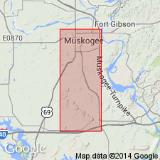
Named for fact that village of Crekola, in E/2 sec. 10, T. 14 N., R. 17 E., Muskogee Co., eastern OK, is located on this sandstone.
Source: US geologic names lexicon (USGS Bull. 896, p. 541); supplemental information from GNU records (USGS DDS-6; Denver GNULEX).
For more information, please contact Nancy Stamm, Geologic Names Committee Secretary.
Asterisk (*) indicates published by U.S. Geological Survey authors.
"No current usage" (†) implies that a name has been abandoned or has fallen into disuse. Former usage and, if known, replacement name given in parentheses ( ).
Slash (/) indicates name conflicts with nomenclatural guidelines (CSN, 1933; ACSN, 1961, 1970; NACSN, 1983, 2005, 2021). May be explained within brackets ([ ]).