- Usage in publication:
-
- Creal Springs limestone member
- Modifications:
-
- Original reference
- Dominant lithology:
-
- Limestone
- AAPG geologic province:
-
- Illinois basin
Summary:
Pg. 32-33, 45 (table 1), 65, pl. 1. Creal Springs limestone member of Spoon formation (new) of Kewanee group (new). Proposed for limestone previously correlated with Curlew limestone but now considered to be younger. Weathers reddish buff, dense, hard, fossiliferous; thins to north. Thickness about 1.5 feet. Stratigraphically above Granger sandstone member (new) and below Mount Rorah coal member (new). Age is Pennsylvanian. Presentation of new rock-stratigraphic classification of Pennsylvanian of Illinois. Cyclical classification retained but is entirely independent of rock-stratigraphic classification.
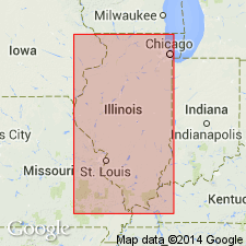
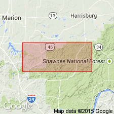
Type locality: in NE/4 SE/4 SE/4 sec. 25, T. 10 S., R. 3 E., Williamson Co., southeastern IL. Exposed just above top of sandstone quarried east of Creal Springs.
Source: US geologic names lexicon (USGS Bull. 1200, p. 978).

- Usage in publication:
-
- Creal Springs Limestone Member
- Modifications:
-
- Overview
- AAPG geologic province:
-
- Illinois basin
Summary:
Creal Springs Limestone Member of Spoon Formation described as a medium to dark gray argillaceous limestone composed of whole brachiopods, gastropods, fusulinids, and echinoderm fragments in a micritic matrix. Contains abundant chert nodules. Unit occurs above the golden sandstone [previously mapped as Granger Sandstone]. In addition to the type locality, unit exposed in gullies north of Rte 166 at the east edge of Creal Springs village; at the junction of an unnamed north-flowing stream and Brushy Creek in SE1/4NE1/4SE1/4, sec. 30, T10S, R4E; and in the bed of the north-trending ravine near the center N1/2SW1/4, sec. 28. Limestone is generally less than 2 ft thick.
Source: GNU records (USGS DDS-6; Reston GNULEX).
For more information, please contact Nancy Stamm, Geologic Names Committee Secretary.
Asterisk (*) indicates published by U.S. Geological Survey authors.
"No current usage" (†) implies that a name has been abandoned or has fallen into disuse. Former usage and, if known, replacement name given in parentheses ( ).
Slash (/) indicates name conflicts with nomenclatural guidelines (CSN, 1933; ACSN, 1961, 1970; NACSN, 1983, 2005, 2021). May be explained within brackets ([ ]).

